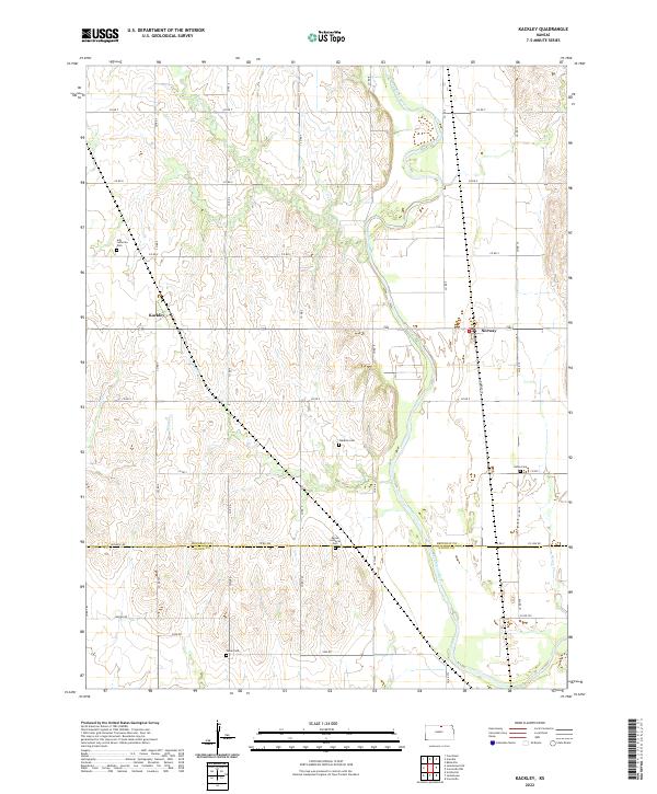
2022 Map of Kackley
USGS Topo · Published 2022About this map
The Republican River winds through this rural landscape on the border of Republic Co and Cloud Co, defining the eastern half of the terrain. The small community of Norway sits along the river's western bank, while the settlement of Kackley is positioned further west among the upland drainage of Skunk Cr and Salt Cr. This area is characterized by a dense network of county roads, such as Republic Rd and Wagon Rd, that connect isolated farmsteads and historic community centers.
Find a feature on this map
47 named features on this map. Tap any name to fly to it.
Don’t see what you’re looking for? This feature index may not catch every label — zoom into the map to look around manually.
Map Details
Editions of this 2022 Kackley Map
This is the sole edition of this map. No revisions or reprints were ever made.
Other maps of this area

1892 · Concordia
USGS Topo · 1:125,000

1955 · Manhattan
USGS Topo · 1:250,000

1956 · Manhattan
USGS Topo · 1:250,000

1957 · Manhattan
USGS Topo · 1:250,000

1965 · Concordia NW
USGS Topo · 1:24,000
1965 · Concordia
USGS Topo · 1:24,000

1965 · Kackley
USGS Topo · 1:24,000

1966 · Scandia
USGS Topo · 1:24,000
1966 · Scottsville
USGS Topo · 1:24,000
1966 · Jamestown
USGS Topo · 1:24,000