
1965 Map of Kackley
USGS Topo · Published 1967About this map
The Republican River meanders through the heart of this North Central Kansas landscape, carving a wide valley through the townships of Norway and Sibley. Two major rail lines dominate the transport geography: the Atchison Topeka and Santa Fe passing through the village of Kackley, and the Missouri Pacific following the river corridor near Norway. These iron arteries once sustained a landscape dotted with country schools and churches like Ada Ch and Daniel Ch, serving the agrarian communities across the Republic and Cloud County line.
Find a feature on this map
26 named features on this map. Tap any name to fly to it.
Don’t see what you’re looking for? This feature index may not catch every label — zoom into the map to look around manually.
Map Details
Editions of this 1965 Kackley Map
This is the sole edition of this map. No revisions or reprints were ever made.
Other maps of this area

1892 · Concordia
USGS Topo · 1:125,000

1955 · Manhattan
USGS Topo · 1:250,000

1956 · Manhattan
USGS Topo · 1:250,000

1957 · Manhattan
USGS Topo · 1:250,000

1965 · Concordia NW
USGS Topo · 1:24,000
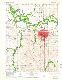
1965 · Concordia
USGS Topo · 1:24,000

1966 · Scandia
USGS Topo · 1:24,000
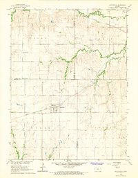
1966 · Scottsville
USGS Topo · 1:24,000
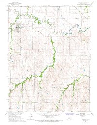
1966 · Jamestown
USGS Topo · 1:24,000
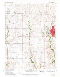
1966 · Belleville
USGS Topo · 1:24,000