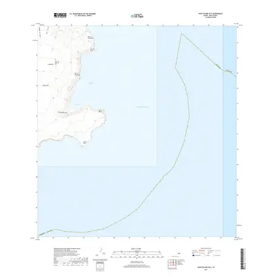
2017 Map of Kahoolawe OE E
USGS Topo · Published 2017About this map
Pu‘u ‘O Moa‘ula Nui and the volcanic crater of Luamakika dominate the eastern reaches of Kaho‘olawe, where the land drops precipitously into the Pacific Ocean. This 2017 survey details the dramatic coastline from Puhi ‘O Kōheohala in the north down to Lae ‘O Kākā at the island's southern edge. The rugged eastern shore is defined by Kanapou Bay and the cliffs of Pali ‘O Kalapakea, with narrow drainages such as Big Gulch and Kaukamaka Gulch carving through the volcanic slopes. The map also delineates the maritime boundary between Maui County and Hawaii County, which runs through the open waters east of the prominent headland at Lae ‘O Hālona. This documentation of the unpopulated island landscape captures the physical geography of a unique land mass long used for navigation and cultural significance.
Find a feature on this map
16 named features on this map. Tap any name to fly to it.
Don’t see what you’re looking for? This feature index may not catch every label — zoom into the map to look around manually.
Map Details
Editions of this 2017 Kahoolawe OE E Map
This is the sole edition of this map. No revisions or reprints were ever made.
Other maps of this area

1929 · Kahoolawe
USGS Topo · 1:62,500

1954 · Maui
USGS Topo · 1:250,000

1954 · Makena
USGS Topo · 1:24,000

1966 · Maui
USGS Topo · 1:250,000

1974 · Maui
USGS Topo · 1:250,000
1983 · Makena
USGS Topo · 1:24,000
1984 · Kahoolawe
USGS Topo · 1:25,000
1991 · Kahoolawe East
USGS Topo · 1:24,000
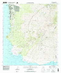
1995 · Makena
USGS Topo · 1:24,000
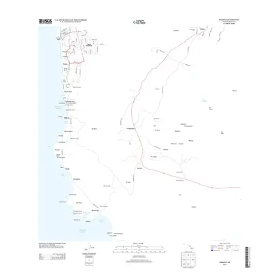
2013 · Makena
USGS Topo · 1:24,000