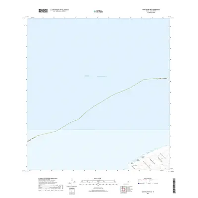
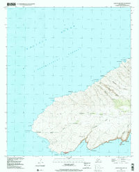
2017 Map of Kahoolawe OE N
USGS Topo · Published 2017About this map
Kealaikahiki Channel dominates this coastal survey, where the deep waters of the Pacific Ocean meet the northern shore of Kaho'olawe. The landscape is defined by a series of distinct gulches and headlands, indicating a highly eroded volcanic terrain where seasonal water flow has carved deep paths to the sea. Notable coastal features include Kuheeia Bay and the sandy stretch of Kaulana Beach, nestled between rocky points like Lae 'O Hilukea. The northeast portion of the island shows paired geographic features such as Papaka Nui and Papaka Iki, along with their respective drainage systems. This 2017 edition records the rugged, uninhabited character of the island’s northern fringe, a place of significant cultural importance within Maui County.
Find a feature on this map
17 named features on this map. Tap any name to fly to it.
Don’t see what you’re looking for? This feature index may not catch every label — zoom into the map to look around manually.
Map Details
Editions of this 2017 Kahoolawe OE N Map
This is the sole edition of this map. No revisions or reprints were ever made.
Other maps of this area

1929 · Kahoolawe
USGS Topo · 1:62,500

1954 · Maui
USGS Topo · 1:250,000

1954 · Maalaea
USGS Topo · 1:24,000

1955 · Olowalu
USGS Topo · 1:24,000

1966 · Maui
USGS Topo · 1:250,000

1974 · Maui
USGS Topo · 1:250,000
1983 · Olowalu
USGS Topo · 1:24,000
1983 · Maalaea
USGS Topo · 1:24,000
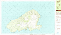
1984 · Kahoolawe
USGS Topo · 1:25,000
1991 · Kahoolawe West
USGS Topo · 1:24,000