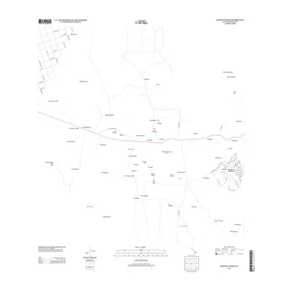
2013 Map of Kahuku Ranch
USGS Topo · Published 2013About this map
Kahuku Ranch and the residential community of Discovery Harbour anchor this portion of the Island of Hawai'i, where the volcanic legacy of the 19th and early 20th centuries is etched into the landscape. The terrain is defined by several prominent volcanic events, including the Lava Flow of 1868, Lava Flow of 1887, and Lava Flow of 1907, which created numerous kipukas—islands of older land surrounded by younger flows—such as Kipuka Mamane and Kipuka Kapulehu. Cultural and ranching history are evident in features like the Heiau o Malino and the Rock Wall Corral. The map also traces the path of the Old Mamalahoa Hwy, illustrating the evolution of transportation along the southwestern slopes. Numerous puu (hills) and lua (craters or pits), including Puu o Kahuku and Lua Olai, dot the territory, reflecting the complex geological character of this region.
Find a feature on this map
99 named features on this map. Tap any name to fly to it.
Don’t see what you’re looking for? This feature index may not catch every label — zoom into the map to look around manually.
Map Details
Editions of this 2013 Kahuku Ranch Map
This is the sole edition of this map. No revisions or reprints were ever made.
Other maps of this area

1924 · Kalae
USGS Topo · 1:62,500

1924 · Honuapo
USGS Topo · 1:62,500

1928 · Hoopuloa
USGS Topo · 1:62,500

1954 · Hawaii South
USGS Topo · 1:250,000

1959 · Hawaii South
USGS Topo · 1:250,000

1961 · Hawaii South
USGS Topo · 1:250,000

1962 · Hawaii South
USGS Topo · 1:250,000

1962 · Puu Hou
USGS Topo · 1:24,000

1962 · Kahuku Ranch
USGS Topo · 1:24,000

1962 · Pohue Bay
USGS Topo · 1:24,000