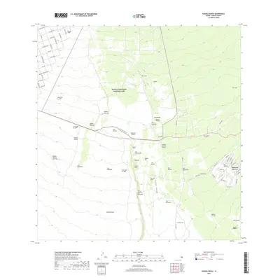
2017 Map of Kahuku Ranch
USGS Topo · Published 2017About this map
The volcanic landscape of the Island of Hawai'i is prominently displayed here, showing the physical traces of historic activity across the Kahuku Ranch region. Modern infrastructure, including the residential streets of Discovery Harbour and a network of named roads like Aloha Blvd and Marlin Blvd, meets the geological history of the southern slopes. The map traces three distinct events—the Lava Flow of 1907, the Lava Flow of 1887, and the Lava Flow of 1868—which have shaped the terrain.
Find a feature on this map
79 named features on this map. Tap any name to fly to it.
Don’t see what you’re looking for? This feature index may not catch every label — zoom into the map to look around manually.
Map Details
Editions of this 2017 Kahuku Ranch Map
This is the sole edition of this map. No revisions or reprints were ever made.
Other maps of this area

1924 · Kalae
USGS Topo · 1:62,500

1924 · Honuapo
USGS Topo · 1:62,500

1928 · Hoopuloa
USGS Topo · 1:62,500

1954 · Hawaii South
USGS Topo · 1:250,000

1959 · Hawaii South
USGS Topo · 1:250,000

1961 · Hawaii South
USGS Topo · 1:250,000

1962 · Hawaii South
USGS Topo · 1:250,000

1962 · Puu Hou
USGS Topo · 1:24,000

1962 · Kahuku Ranch
USGS Topo · 1:24,000

1962 · Pohue Bay
USGS Topo · 1:24,000