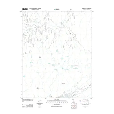
2012 Map of Kaiser Peak
USGS Topo · Published 2012About this map
Kaiser Peak overlooks a landscape of high-altitude basins and alpine lakes, recorded here as it appeared in the early 21st century. The northern shoreline of Huntington Lake serves as the primary hub of activity, where Lakeshore Village Resort and the Rancheria Garage supported a robust seasonal recreation economy. The map illustrates a transition from these established lakeside settlements like Snow Bend and Eastwood Vista into the protected wilderness areas to the north.
Find a feature on this map
47 named features on this map. Tap any name to fly to it.
Don’t see what you’re looking for? This feature index may not catch every label — zoom into the map to look around manually.
Map Details
Editions of this 2012 Kaiser Peak Map
This is the sole edition of this map. No revisions or reprints were ever made.
Other maps of this area

1904 · Kaiser
USGS Topo · 1:125,000

1947 · Mariposa
USGS Topo · 1:250,000

1948 · Mariposa
USGS Topo · 1:250,000

1953 · Huntington Lake
USGS Topo · 1:62,500

1953 · Shaver Lake
USGS Topo · 1:62,500

1953 · Shuteye Peak
USGS Topo · 1:62,500

1953 · Kaiser Peak
USGS Topo · 1:62,500

1957 · Mariposa
USGS Topo · 1:250,000

1963 · Mariposa
USGS Topo · 1:250,000

1980 · Shaver Lake
USGS Topo · 1:100,000