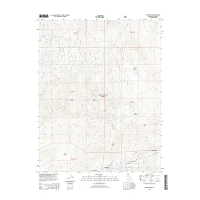
2015 Map of Kaiser Peak
USGS Topo · Published 2015About this map
Huntington Lake defines the southern edge of this high-altitude landscape, where the settlements of Lakeshore and Cedar Crest serve as gateways to the Sierra National Forest. The topography is dominated by the granite heights of Kaiser Peak and the passage through Potter Pass, which connects the lake basin to the complex drainage of Kaiser Cr and its many tributaries. This 2015 survey illustrates a wilderness defined by its water resources, from the remote alpine basins of Upper Twin Lake and Lower Twin Lake to the industrial legacy of the Ward Tunnel. The area's character is shaped by a mix of recreation and hydro-infrastructure, with Kaiser Pass Rd providing the primary access through the steep terrain near Snow Bend. High meadows like Gloria Meadow and Sample Meadows punctuate the landscape, offering distinct landmarks for those tracing the historical trails and forest boundaries of this part of the Sierra Nevada.
Find a feature on this map
48 named features on this map. Tap any name to fly to it.
Don’t see what you’re looking for? This feature index may not catch every label — zoom into the map to look around manually.
Map Details
Editions of this 2015 Kaiser Peak Map
This is the sole edition of this map. No revisions or reprints were ever made.
Other maps of this area

1904 · Kaiser
USGS Topo · 1:125,000

1947 · Mariposa
USGS Topo · 1:250,000

1948 · Mariposa
USGS Topo · 1:250,000

1953 · Huntington Lake
USGS Topo · 1:62,500

1953 · Shaver Lake
USGS Topo · 1:62,500

1953 · Shuteye Peak
USGS Topo · 1:62,500

1953 · Kaiser Peak
USGS Topo · 1:62,500

1957 · Mariposa
USGS Topo · 1:250,000

1963 · Mariposa
USGS Topo · 1:250,000

1980 · Shaver Lake
USGS Topo · 1:100,000