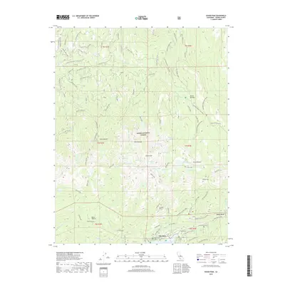
2018 Map of Kaiser Peak
USGS Topo · Published 2018About this map
Lakeshore sits at the northeastern edge of Huntington Lake in this high-altitude survey of the Sierra Nevada. The map highlights the seasonal infrastructure of the Sierra National Forest, where high-mountain passes and snow-cleared routes define movement across the granite landscape. Significant markers of the region's hydroelectric and transit history are visible, such as the Ward Tunnel and the namesake Kaiser Peak.
Find a feature on this map
81 named features on this map. Tap any name to fly to it.
Don’t see what you’re looking for? This feature index may not catch every label — zoom into the map to look around manually.
Map Details
Editions of this 2018 Kaiser Peak Map
This is the sole edition of this map. No revisions or reprints were ever made.
Other maps of this area

1904 · Kaiser
USGS Topo · 1:125,000

1947 · Mariposa
USGS Topo · 1:250,000

1948 · Mariposa
USGS Topo · 1:250,000

1953 · Huntington Lake
USGS Topo · 1:62,500

1953 · Shaver Lake
USGS Topo · 1:62,500

1953 · Shuteye Peak
USGS Topo · 1:62,500

1953 · Kaiser Peak
USGS Topo · 1:62,500

1957 · Mariposa
USGS Topo · 1:250,000

1963 · Mariposa
USGS Topo · 1:250,000

1980 · Shaver Lake
USGS Topo · 1:100,000