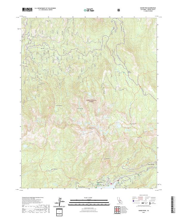
2021 Map of Kaiser Peak
USGS Topo · Published 2021About this map
Sierra National Forest dominates this high-altitude landscape, where the granite crests of Kaiser Ridge and Kaiser Peak divide a network of alpine basins and glacial lakes. In the southern portion of the map, the settlements of Lakeshore and Cedar Crest provide a base for travel along Huntington Lake Road, which skirts the edge of the large reservoir just out of view. The region is defined by its extensive trail system, including the California Riding And Hiking Trl and the Kaiser Loop Trl, which connect meadows like Gloria Meadow and Sample Meadows to high-elevation destinations such as George Lake and Idaho Lake. Researchers will note the concentration of named features around Potter Pass, where several routes converge near Potter Creek Trl, reflecting the historical importance of these mountain crossings for movement through the high country.
Find a feature on this map
72 named features on this map. Tap any name to fly to it.
Don’t see what you’re looking for? This feature index may not catch every label — zoom into the map to look around manually.
Map Details
Editions of this 2021 Kaiser Peak Map
This is the sole edition of this map. No revisions or reprints were ever made.
Other maps of this area

1904 · Kaiser
USGS Topo · 1:125,000

1947 · Mariposa
USGS Topo · 1:250,000

1948 · Mariposa
USGS Topo · 1:250,000

1953 · Huntington Lake
USGS Topo · 1:62,500

1953 · Shaver Lake
USGS Topo · 1:62,500

1953 · Shuteye Peak
USGS Topo · 1:62,500

1953 · Kaiser Peak
USGS Topo · 1:62,500

1957 · Mariposa
USGS Topo · 1:250,000

1963 · Mariposa
USGS Topo · 1:250,000

1980 · Shaver Lake
USGS Topo · 1:100,000