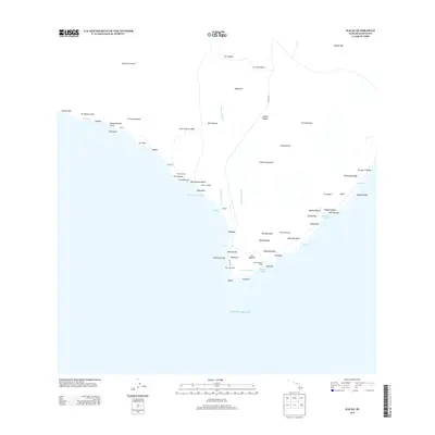
2013 Map of Kalae
USGS Topo · Published 2013About this map
Lava Flow of 1868 cuts a distinct path across the coastal landscape of the Island of Hawai'i, reaching the sea near the village of Kalae. This southern tip of the island features a high concentration of traditional landmarks and settlements, including Hanalua, Kananaka, and Kahukupoko, all situated near the termination of S Point Rd. The terrain is characterized by numerous pu'u (hills) such as Pu'ukaimu'uala and Pu'uohā'upu, along with significant coastal features like Kepuhiokahi'o Point and the sheltered Mahana Bay. Maritime activity is concentrated around the Kaulana Boat Ramp within Kaulana Bay, providing access to the Pacific Ocean. Culturally significant sites like the Heliau o Molilele near Wai'ahukini Beach indicate the long-standing human presence in this windswept environment, where the landscape is a direct reflection of historical volcanic activity and coastal erosion.
Find a feature on this map
68 named features on this map. Tap any name to fly to it.
Don’t see what you’re looking for? This feature index may not catch every label — zoom into the map to look around manually.
Map Details
Editions of this 2013 Kalae Map
This is the sole edition of this map. No revisions or reprints were ever made.
Other maps of this area

1924 · Kalae
USGS Topo · 1:62,500

1924 · Honuapo
USGS Topo · 1:62,500

1928 · Hoopuloa
USGS Topo · 1:62,500

1954 · Hawaii South
USGS Topo · 1:250,000

1959 · Hawaii South
USGS Topo · 1:250,000

1961 · Hawaii South
USGS Topo · 1:250,000

1962 · Hawaii South
USGS Topo · 1:250,000

1962 · Puu Hou
USGS Topo · 1:24,000

1962 · Kahuku Ranch
USGS Topo · 1:24,000

1962 · Pohue Bay
USGS Topo · 1:24,000