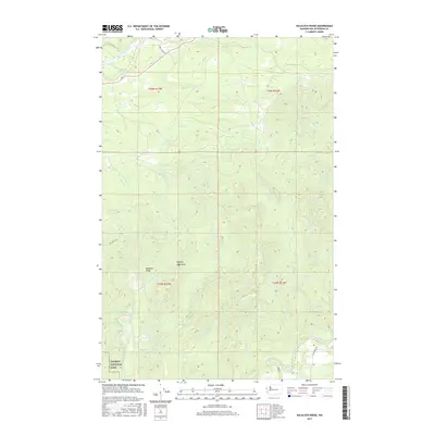
2017 Map of Kalaloch Ridge
USGS Topo · Published 2017About this map
The Olympic Mountains dominate this 2017 survey, where high timberlands give way to a complex network of coastal drainages. In the south, the Olympic National Park boundary encompasses the rising terrain of Kalaloch Ridge, while the surrounding landscape is defined by the steep valleys of Kalaloch Cr and its forks. These waters eventually feed into the Pacific, though the map focus remains on the interior logging and access routes like Oil City Rd and G and L Shake Rd. In the northeast, the Hoh River cuts a wide valley, contrasted by the tighter, rapid-filled waters of the Clearwater River to the south. The presence of Skookumchuck Rapids and Barker Rapids indicates the heavy seasonal flow common to these coastal ranges, while NPS Road 1436 provides a rare point of penetration into the protected park forest.
Find a feature on this map
28 named features on this map. Tap any name to fly to it.
Don’t see what you’re looking for? This feature index may not catch every label — zoom into the map to look around manually.
Map Details
Editions of this 2017 Kalaloch Ridge Map
This is the sole edition of this map. No revisions or reprints were ever made.
Other maps of this area

1939 · Forks
USGS Topo · 1:62,500

1943 · Spruce Mountain
USGS Topo · 1:62,500

1943 · Copalis Beach
USGS Topo · 1:250,000

1951 · Copalis Beach
USGS Topo · 1:250,000

1956 · Destruction Island
USGS Topo · 1:62,500

1956 · Spruce Mtn.
USGS Topo · 1:62,500

1956 · Salmon River
USGS Topo · 1:62,500

1957 · Forks
USGS Topo · 1:62,500

1957 · Copalis Beach
USGS Topo · 1:250,000

1963 · Copalis Beach
USGS Topo · 1:250,000