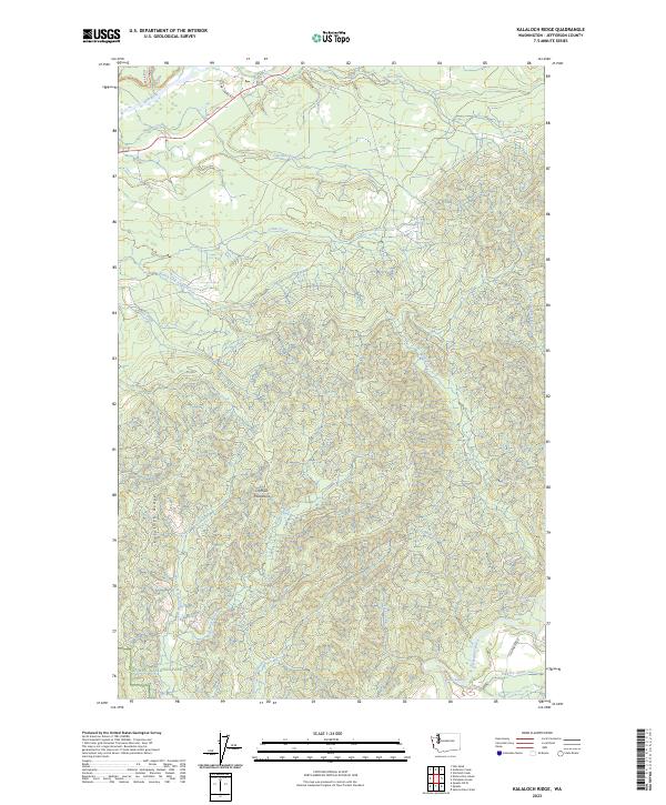
2023 Map of Kalaloch Ridge
USGS Topo · Published 2023About this map
Olympic National Park occupies the southwestern portion of this map, reflecting a landscape defined by high ridges and a dense network of coastal drainage systems. The Hoh River cuts across the northern edge, while the southern reaches are shaped by the Clearwater River and its turbulent features like Skookumchuck Rapids and Barker Rapids. This modern survey documents the contemporary road network within the peninsula, including US Highway 101 and the access provided by Oil City Rd and NPS Road 1436. Between these corridors, the terrain rises toward Kalaloch Ridge, a prominent feature of the Olympic Mountains. Numerous tributaries, such as Steamboat Creek and Mink Creek, weave through the timbered sections of the quadrangle, illustrating the high-precipitation hydrology of the region.
Find a feature on this map
30 named features on this map. Tap any name to fly to it.
Don’t see what you’re looking for? This feature index may not catch every label — zoom into the map to look around manually.
Map Details
Editions of this 2023 Kalaloch Ridge Map
This is the sole edition of this map. No revisions or reprints were ever made.
Other maps of this area

1939 · Forks
USGS Topo · 1:62,500

1943 · Spruce Mountain
USGS Topo · 1:62,500

1943 · Copalis Beach
USGS Topo · 1:250,000

1951 · Copalis Beach
USGS Topo · 1:250,000

1956 · Destruction Island
USGS Topo · 1:62,500

1956 · Spruce Mtn.
USGS Topo · 1:62,500

1956 · Salmon River
USGS Topo · 1:62,500

1957 · Forks
USGS Topo · 1:62,500

1957 · Copalis Beach
USGS Topo · 1:250,000

1963 · Copalis Beach
USGS Topo · 1:250,000