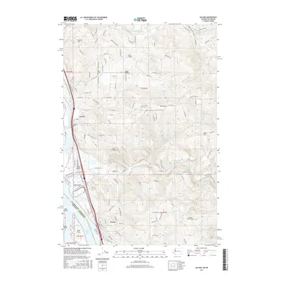
2017 Map of Kalama
USGS Topo · Published 2017About this map
The Columbia River serves as the primary artery for commerce and transport along the Washington-Oregon border, defined here by the Kalama Upper Range and the industrial activity of the BNSF Railway corridor. The city of Kalama occupies the riverbanks below high terrain like Green Mountain, while smaller communities such as Carrolls and Rose Valley are tucked into the interior valleys and hillsides. These inland areas are connected by a network of rural roads such as Mount Pleasant Rd and Rose Valley Rd, which link family-named land features and heritage sites including the Rose Valley Cem and Mount Pleasant Cem.
Find a feature on this map
128 named features on this map. Tap any name to fly to it.
Don’t see what you’re looking for? This feature index may not catch every label — zoom into the map to look around manually.
Map Details
Editions of this 2017 Kalama Map
This is the sole edition of this map. No revisions or reprints were ever made.
Other maps of this area

1921 · Kalama
USGS Topo · 1:62,500

1922 · St. Helens
USGS Topo · 1:62,500

1940 · La Center
USGS Topo · 1:62,500

1941 · St Helens
USGS Topo · 1:62,500

1943 · Pigeon Springs
USGS Topo · 1:62,500

1943 · St Helens
USGS Topo · 1:62,500

1948 · Vancouver
USGS Topo · 1:250,000

1950 · Vancouver
USGS Topo · 1:250,000

1950 · Vancouver
USGS Topo · 1:250,000

1953 · Hoquiam
USGS Topo · 1:250,000