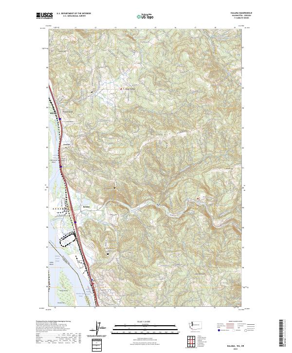
2023 Map of Kalama
USGS Topo · Published 2023About this map
The Columbia River serves as the focal point for this survey, defining the border between Washington and Oregon as it flows past Kalama and Carrolls. The landscape is a study in riverfront logistics and industrial transit, featuring the Great Northern RR and major navigational aids like the Kalama Upper Range and Kalama Lower Range. These markers help guide vessels around features like Cottonwood Island and Sandy Island in the main channel.
Find a feature on this map
42 named features on this map. Tap any name to fly to it.
Don’t see what you’re looking for? This feature index may not catch every label — zoom into the map to look around manually.
Map Details
Editions of this 2023 Kalama Map
This is the sole edition of this map. No revisions or reprints were ever made.
Other maps of this area

1921 · Kalama
USGS Topo · 1:62,500

1922 · St. Helens
USGS Topo · 1:62,500

1940 · La Center
USGS Topo · 1:62,500

1941 · St Helens
USGS Topo · 1:62,500

1943 · Pigeon Springs
USGS Topo · 1:62,500

1943 · St Helens
USGS Topo · 1:62,500

1948 · Vancouver
USGS Topo · 1:250,000

1950 · Vancouver
USGS Topo · 1:250,000

1950 · Vancouver
USGS Topo · 1:250,000

1953 · Hoquiam
USGS Topo · 1:250,000