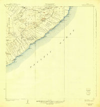
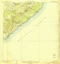
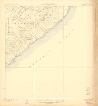
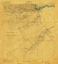
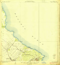
1924 Map of Kalapana
USGS Topo · Published 1943About this map
The Lava Flow of 1840 scars the landscape south of Pahoa, serving as a permanent record of the volcanic activity that shaped this region of the Puna District. This 1922 survey documents a complex system of agricultural divisions, including the Kamaili Homesteads, Opihikao Homesteads, and Kikala-Keokea Homesteads, which reveal the era's land distribution patterns along the coast. Notable volcanic landmarks such as Puu Honuaula, Lava Trees, and the Puulena Crater punctuate the inland terrain.
Find a feature on this map
92 named features on this map. Tap any name to fly to it.
Don’t see what you’re looking for? This feature index may not catch every label — zoom into the map to look around manually.
Map Details
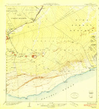
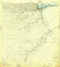
Editions of this 1924 Kalapana Map
4 editions found
Other maps of this area
1917 · Hilo
USGS Topo · 1:62,500

1922 · Puna
USGS Topo · 1:62,500
1924 · Makuu
USGS Topo · 1:62,500
1924 · Puna
USGS Topo · 1:62,500
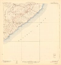
1924 · Kalapana
USGS Topo · 1:62,500
1932 · Hilo
USGS Topo · 1:62,500

1954 · Hawaii South
USGS Topo · 1:250,000

1954 · Hawaii North
USGS Topo · 1:250,000

1959 · Hawaii South
USGS Topo · 1:250,000

1959 · Hawaii North
USGS Topo · 1:250,000