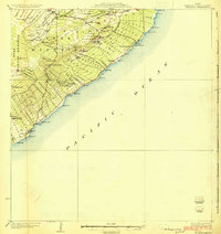
1924 Map of Kalapana
USGS Topo · Published 1924About this map
The coastal Puna District of the Territory of Hawaii is captured here during the governorship of Wallace R. Farrington, showing a landscape defined by volcanic geology and agricultural homesteading. The map details the transition from the upland Puna Forest Reserve down to the rugged shoreline, where small coastal settlements like Kalapana and Kaimu are situated. A significant cultural landmark, Mahinaakaka Heiau, sits near the coast, while the natural phenomenon of Lava Trees is noted further inland near Kaniahiku.
Find a feature on this map
84 named features on this map. Tap any name to fly to it.
Don’t see what you’re looking for? This feature index may not catch every label — zoom into the map to look around manually.
Map Details
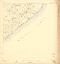
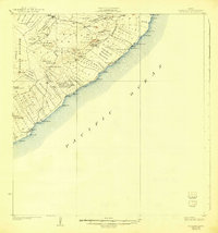
Editions of this 1924 Kalapana Map
4 editions found
Other maps of this area

1917 · Hilo
USGS Topo · 1:62,500

1922 · Puna
USGS Topo · 1:62,500

1924 · Makuu
USGS Topo · 1:62,500

1924 · Puna
USGS Topo · 1:62,500

1924 · Kalapana
USGS Topo · 1:62,500

1932 · Hilo
USGS Topo · 1:62,500

1954 · Hawaii South
USGS Topo · 1:250,000

1954 · Hawaii North
USGS Topo · 1:250,000

1959 · Hawaii South
USGS Topo · 1:250,000

1959 · Hawaii North
USGS Topo · 1:250,000