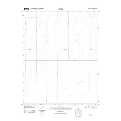
2012 Map of Kalvesta
USGS Topo · Published 2012About this map
Kalvesta serves as the primary hub of this high plains landscape, situated at a crossroads in Finney County during the early 21st century. The terrain is defined by a grid of agricultural section roads and the seasonal drainage of Sand Cr, which cuts through the southern half of the quadrangle. The map reveals a highly structured land-use pattern, with thoroughfares such as Zeim Grade Rd and Renstrom Rd providing access to the expansive fields that dominate the local economy. On the southern edge, Gray Co Line Rd marks the jurisdictional boundary, reflecting the geometric precision of Kansas county divisions. This survey captures a moment in the modern era of the rural Midwest, where the sparse placement of named features like E Phipps Rd and N Evans Rd underscores the vast scale of individual landholdings and the persistence of the original township grid system.
Find a feature on this map
14 named features on this map. Tap any name to fly to it.
Don’t see what you’re looking for? This feature index may not catch every label — zoom into the map to look around manually.
Map Details
Editions of this 2012 Kalvesta Map
This is the sole edition of this map. No revisions or reprints were ever made.
Other maps of this area

1892 · Dodge
USGS Topo · 1:125,000

1955 · Dodge City
USGS Topo · 1:250,000

1955 · Scott City
USGS Topo · 1:250,000

1958 · Dodge City
USGS Topo · 1:250,000

1958 · Scott City
USGS Topo · 1:250,000

1959 · Dodge City
USGS Topo · 1:250,000

1968 · Cimarron NW
USGS Topo · 1:24,000

1968 · Dodge City NW
USGS Topo · 1:24,000

1968 · Cimarron NE
USGS Topo · 1:24,000

1974 · Ravanna
USGS Topo · 1:24,000