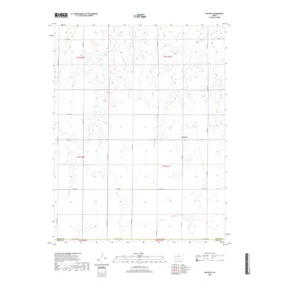
2018 Map of Kalvesta
USGS Topo · Published 2018About this map
Kalvesta sits at the intersection of local routes in this corner of the Kansas High Plains during the late 2010s. The landscape is defined by the ephemeral drainage of Sand Cr, which meanders across the southern sections of the quadrangle. The map documents a meticulously surveyed grid of township and range lines, including t22s r27w and t23s r28w, reflecting the enduring structure of the Public Land Survey System. A dense network of county roads, such as N Zeim Grade Rd, N Byler Rd, and E Oyler Rd, provides access to the surrounding agricultural parcels. The boundary between Finney and Gray County is clearly delineated along Gray Co Line Rd, illustrating the administrative divisions that have shaped local governance and property records since the region's early settlement.
Find a feature on this map
21 named features on this map. Tap any name to fly to it.
Don’t see what you’re looking for? This feature index may not catch every label — zoom into the map to look around manually.
Map Details
Editions of this 2018 Kalvesta Map
This is the sole edition of this map. No revisions or reprints were ever made.
Other maps of this area

1892 · Dodge
USGS Topo · 1:125,000

1955 · Dodge City
USGS Topo · 1:250,000

1955 · Scott City
USGS Topo · 1:250,000

1958 · Dodge City
USGS Topo · 1:250,000

1958 · Scott City
USGS Topo · 1:250,000

1959 · Dodge City
USGS Topo · 1:250,000

1968 · Cimarron NW
USGS Topo · 1:24,000

1968 · Dodge City NW
USGS Topo · 1:24,000

1968 · Cimarron NE
USGS Topo · 1:24,000

1974 · Ravanna
USGS Topo · 1:24,000