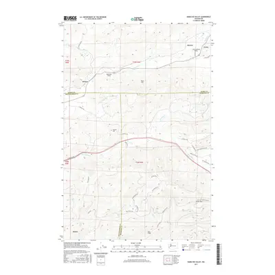
2017 Map of Kamilche Valley
USGS Topo · Published 2017About this map
Kamilche Valley and the Black Hills characterize this section of the Pacific Northwest, where the borders of Mason, Thurston, and Grays Harbor counties converge. The landscape is defined by its drainages, including Skookum Cr flowing through the Little Skookum Valley and Mox Chehalis Cr to the south. Small settlements like Stimson and Malone are situated near the western edge of the expansive Capitol Forest, a region marked by timber production and rugged ridges such as Buck Ridge and Hicklin Hill.
Find a feature on this map
49 named features on this map. Tap any name to fly to it.
Don’t see what you’re looking for? This feature index may not catch every label — zoom into the map to look around manually.
Map Details
Editions of this 2017 Kamilche Valley Map
This is the sole edition of this map. No revisions or reprints were ever made.
Other maps of this area

1939 · Shelton
USGS Topo · 1:62,500

1941 · Gate
USGS Topo · 1:62,500

1941 · Ford
USGS Topo · 1:62,500

1943 · Nahwatzel Lake
USGS Topo · 1:62,500

1953 · Hoquiam
USGS Topo · 1:250,000

1953 · Rochester
USGS Topo · 1:62,500

1953 · Malone
USGS Topo · 1:62,500

1953 · Shelton
USGS Topo · 1:62,500

1953 · Elma
USGS Topo · 1:62,500

1957 · Hoquiam
USGS Topo · 1:250,000