
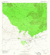
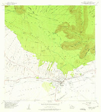
1956 Map of Kamuela
USGS Topo · Published 1957About this map
Waimea (Kamuela PO) serves as the central hub on the Big Island in the mid-1950s, bridging the gap between the lush windward slopes and the dryer leeward lands. The map documents an intricate network of agricultural and ranching infrastructure, featuring the Parker Ranch Racetrack and various homestead allotments like Waimea Homesteads and Puukapu Homesteads. To the north, the steep, gulch-cut terrain of the Kohala Mountains is managed through the Kohala Forest Reserve. An impressive system of water management is visible through the Upper Hamakua Ditch and Lower Hamakua Ditch, which channel water across the rugged topography to support local settlements and ranch lands. Small communities like Kuhio Village and Puopelu are clearly marked alongside established transportation routes like Mamalahoa Highway, providing a snapshot of mid-century Hawaiian interior life and land use.
Find a feature on this map
102 named features on this map. Tap any name to fly to it.
Don’t see what you’re looking for? This feature index may not catch every label — zoom into the map to look around manually.
Map Details
Editions of this 1956 Kamuela Map
3 editions found
Other maps of this area

1913 · Kohala
USGS Topo · 1:62,500

1916 · Kohala
USGS Topo · 1:62,500

1916 · Waipio
USGS Topo · 1:62,500

1928 · Puako
USGS Topo · 1:62,500

1954 · Hawaii North
USGS Topo · 1:250,000

1956 · Puu Hinai
USGS Topo · 1:24,000

1956 · Nohonaohae
USGS Topo · 1:24,000

1956 · Makahalau
USGS Topo · 1:24,000

1956 · Kawaihae
USGS Topo · 1:24,000
1957 · Honokane
USGS Topo · 1:24,000