Loading...
Loading map...2022 Map of Kanawha
USGS Topo · Published 2022About this map
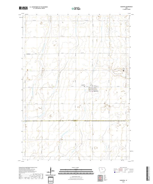
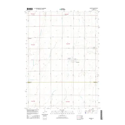
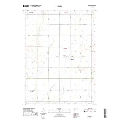
Kanawha serves as the primary hub of this North Central Iowa landscape, situated at the junction of Co Hwy B63 and James Ave. The town's grid is flanked by significant agricultural drainage infrastructure, most notably Drainage Ditch Number 107, which reflects the intensive land management required for farming in the region. Outside the main settlement, the smaller locality of Denhart sits to the northwest along Ford Ave.
Find a feature on this map
44 named features on this map. Tap any name to fly to it.
Don’t see what you’re looking for? This feature index may not catch every label — zoom into the map to look around manually.
Map Details
Date Portrayed2022
Date Published2022
PublisherU.S. Geological Survey
Map TypeTopographic
Scale1:24,000
Physical Dimensions24 x 29 inches
Editions of this 2022 Kanawha Map
This is the sole edition of this map. No revisions or reprints were ever made.
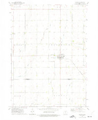
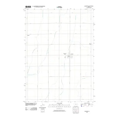
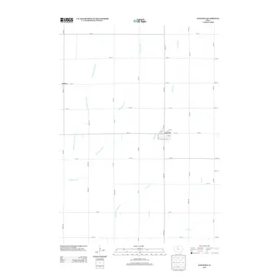
Historical Maps of Kanawha Through Time
6 maps found
Featured Locations
Source Details
SourceU.S. Geological Survey
CopyrightPublic Domain