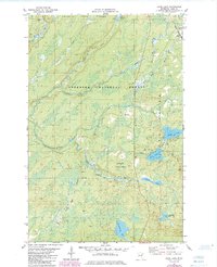
1981 Map of Kane Lake
USGS Topo · Published 1985About this map
Finland State Forest and the Superior National Forest define this pocket of Lake County, where the upper reaches of the Cloquet River and Langley River carve through a landscape of wetlands and timber. The industrial character of the region is anchored by the Duluth Missabe and Iron Range Railroad, which snakes through the northeast corner past Norshor Junction. This rail line was vital for moving Minnesota's iron ore from the Range toward the Great Lakes ports.
Find a feature on this map
20 named features on this map. Tap any name to fly to it.
Don’t see what you’re looking for? This feature index may not catch every label — zoom into the map to look around manually.
Map Details
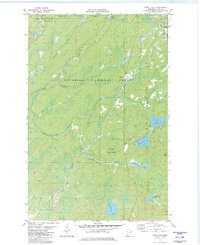
Editions of this 1981 Kane Lake Map
2 editions found
Other maps of this area

1953 · Whyte
USGS Topo · 1:62,500

1954 · Two Harbors
USGS Topo · 1:250,000

1956 · King Lake
USGS Topo · 1:24,000

1957 · Two Harbors
USGS Topo · 1:250,000

1957 · Two Harbors
USGS Topo · 1:62,500

1957 · Brimson
USGS Topo · 1:62,500

1957 · Two Harbors NE
USGS Topo · 1:24,000

1958 · Two Harbors
USGS Topo · 1:250,000

1964 · Two Harbors
USGS Topo · 1:250,000

1976 · Two Harbors
USGS Topo · 1:100,000