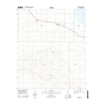
2015 Map of Kane Spring
USGS Topo · Published 2015About this map
Kane Spring sits as a lonely desert outpost where the arid reaches of the Imperial Valley meet the rising elevations of the Superstition Hills. This landscape is defined by the sharp transition between undeveloped desert terrain and the highly engineered agricultural infrastructure near the Salton Sea. A complex network of irrigation and drainage features, such as the Trifolium Extension, Lateral Number One, and Barth Lateral, illustrates the intensive effort to manage water in this arid basin.
Find a feature on this map
21 named features on this map. Tap any name to fly to it.
Don’t see what you’re looking for? This feature index may not catch every label — zoom into the map to look around manually.
Map Details
Editions of this 2015 Kane Spring Map
This is the sole edition of this map. No revisions or reprints were ever made.
Other maps of this area

1915 · El Centro
USGS Topo · 1:125,000

1940 · Brawley
USGS Topo · 1:62,500

1940 · Kane Spring
USGS Topo · 1:62,500

1940 · Plaster City
USGS Topo · 1:62,500

1942 · El Centro
USGS Topo · 1:250,000

1943 · Brawley
USGS Topo · 1:62,500

1944 · Plaster City
USGS Topo · 1:62,500

1944 · Kane Spring
USGS Topo · 1:62,500

1944 · Calipatria
USGS Topo · 1:62,500

1954 · El Centro
USGS Topo · 1:250,000