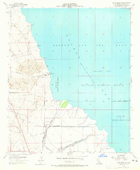
1956 Map of Kane Spring NE
USGS Topo · Published 1965About this map
The Salton Sea shoreline dominates this mid-century survey of the Imperial Valley, revealing a landscape defined by water management and military activity. Situated at an elevation of 235 feet below sea level, the map captures the extensive Salton Sea National Wildlife Refuge and the adjacent Salton Sea Test Base, which occupied a significant portion of the western coast. The desert floor is characterized by shifting Sand Dunes and the seasonal flows of San Felipe Creek and San Felipe Wash. Significant irrigation infrastructure, such as the Trifolium Drain and Trifolium Extension, illustrates the complex engineering required to reclaim this arid basin. Small markers of human settlement like Clancy and Mitchell appear near a remote Landing Strip, while a Gaging Station and various water towers suggest the technical labor involved in monitoring this changing inland sea.
Find a feature on this map
24 named features on this map. Tap any name to fly to it.
Don’t see what you’re looking for? This feature index may not catch every label — zoom into the map to look around manually.
Map Details
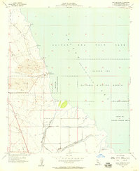
Editions of this 1956 Kane Spring NE Map
2 editions found
Other maps of this area

1940 · Kane Spring
USGS Topo · 1:62,500

1940 · Frink
USGS Topo · 1:62,500

1940 · Durmid
USGS Topo · 1:62,500

1944 · Durmid
USGS Topo · 1:62,500

1944 · Kane Spring
USGS Topo · 1:62,500

1944 · Calipatria
USGS Topo · 1:62,500

1944 · Frink
USGS Topo · 1:62,500

1954 · Salton Sea
USGS Topo · 1:250,000

1955 · Salton Sea
USGS Topo · 1:250,000
1956 · Durmid SE
USGS Topo · 1:24,000