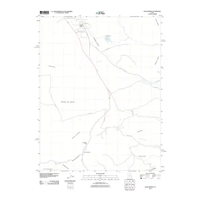
2010 Map of Kane Springs
USGS Topo · Published 2010About this map
Spanish Valley serves as the primary corridor for development and travel in this high-desert portion of San Juan County, Utah. The landscape is defined by massive geologic benches and canyon systems, including the prominent plateau of Flat Iron Mesa and the expansive formations of Behind the Rocks. Water management is central to the area's utility, anchored by Kens Lake and the Kens Lake Dam, which capture runoff from Mill Creek and Pack Creek for use in the valley below.
Find a feature on this map
32 named features on this map. Tap any name to fly to it.
Don’t see what you’re looking for? This feature index may not catch every label — zoom into the map to look around manually.
Map Details
Editions of this 2010 Kane Springs Map
This is the sole edition of this map. No revisions or reprints were ever made.
Other maps of this area

1885 · La Sal
USGS Topo · 1:250,000

1954 · Mt Peale 2 SW
USGS Topo · 1:24,000

1954 · Mt Peale 2 NW
USGS Topo · 1:24,000

1954 · Mt Peale 2 SE
USGS Topo · 1:24,000

1954 · Mt. Waas 3 SE
USGS Topo · 1:24,000

1954 · Carlisle 1 NE
USGS Topo · 1:24,000

1954 · Carlisle 1 SE
USGS Topo · 1:24,000

1954 · Mt Peale 2 NE
USGS Topo · 1:24,000

1954 · Mt. Waas 3 SW
USGS Topo · 1:24,000

1954 · La Sal Junction
USGS Topo · 1:62,500