
1954 Map of La Sal Junction
USGS Topo · Published 1957About this map
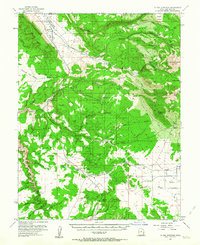
Spanish Valley and the towering peaks of the Manti-La Sal National Forest dominate this mid-century survey of San Juan and Grand Counties. The map captures a landscape defined by dramatic geological transitions, from the high alpine elevations of Mt Tukuhnikivatz and La Sal Pass down to the arid, carved basins of Hatch Wash and Coyote Creek. Evidence of early 20th-century resource extraction is visible at the Yellow Circle Mines and scattered prospects across Black Ridge. Human footprint is sparse but significant at this time, centered on La Sal Junction and the M4 Ranch. These outposts served as vital connections for cattle ranching and mining transport through the deep corridors of Kane Springs Canyon and Muleshoe Canyon. Distinctive landmarks like Looking Glass Rock and a Natural Arch near Rattlesnake Canyon serve as unique navigational markers in a terrain of mesas and hollows.
Find a feature on this map
74 named features on this map. Tap any name to fly to it.
Don’t see what you’re looking for? This feature index may not catch every label — zoom into the map to look around manually.
Map Details
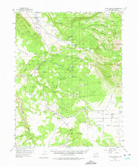
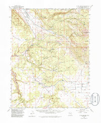
Editions of this 1954 La Sal Junction Map
4 editions found
Other maps of this area

1885 · La Sal
USGS Topo · 1:250,000

1954 · Mt Peale 3 NW
USGS Topo · 1:24,000

1954 · Mt. Waas 4 SW
USGS Topo · 1:24,000

1954 · Mt Peale 4 NW
USGS Topo · 1:24,000

1954 · Mt Peale 3 NE
USGS Topo · 1:24,000

1954 · Mt Peale 1 SW
USGS Topo · 1:24,000

1954 · Mt Peale 1 NW
USGS Topo · 1:24,000

1954 · Mt Peale 2 SW
USGS Topo · 1:24,000

1954 · Mt Peale 2 NW
USGS Topo · 1:24,000

1954 · Mt Peale 2 SE
USGS Topo · 1:24,000