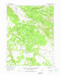
1954 Map of La Sal Junction
USGS Topo · Published 1975About this map
Spanish Valley cuts a prominent path through the northwestern corner of this mid-century survey, flanked by the dramatic canyonlands of Behind The Rocks and Hunters Canyon. The landscape is a study in resource extraction and ranching, with the M4 Ranch and several Prospect sites dotting the drainages of Mill Creek. To the east, the terrain rises sharply into the La Sal National Forest, dominated by the high peaks of Mt Tukuhnikivatz and South Mountain.
Find a feature on this map
48 named features on this map. Tap any name to fly to it.
Don’t see what you’re looking for? This feature index may not catch every label — zoom into the map to look around manually.
Map Details
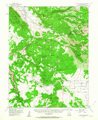
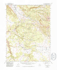
Editions of this 1954 La Sal Junction Map
4 editions found

Other maps of this area

1885 · La Sal
USGS Topo · 1:250,000

1954 · Mt Peale 3 NW
USGS Topo · 1:24,000

1954 · Mt. Waas 4 SW
USGS Topo · 1:24,000

1954 · Mt Peale 4 NW
USGS Topo · 1:24,000

1954 · Mt Peale 3 NE
USGS Topo · 1:24,000

1954 · Mt Peale 1 SW
USGS Topo · 1:24,000

1954 · Mt Peale 1 NW
USGS Topo · 1:24,000

1954 · Mt Peale 2 SW
USGS Topo · 1:24,000

1954 · Mt Peale 2 NW
USGS Topo · 1:24,000

1954 · Mt Peale 2 SE
USGS Topo · 1:24,000