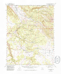
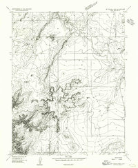
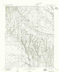
1954 Map of La Sal Junction
USGS Topo · Published 1986About this map
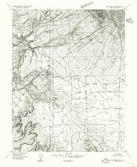
Spanish Valley serves as a corridor through this canyon-laced terrain on the border of Grand and San Juan counties in the mid-1950s. The settlement of La Sal Junction marks a key crossroads south of the Manti-La Sal National Forest boundary, where the high peaks of the La Sal Range, including Mt Tukuhnikivatz, transition into the mesa-and-wash systems of the Colorado Plateau. Industrial activity is evidenced by the Yellow Circle Mines and scattered prospects through Black Canyon and Cottonwood Canyon, hinting at the era's mineral exploration.
Find a feature on this map
48 named features on this map. Tap any name to fly to it.
Don’t see what you’re looking for? This feature index may not catch every label — zoom into the map to look around manually.
Map Details
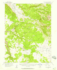
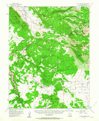
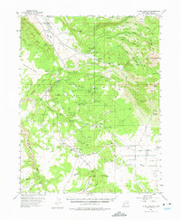
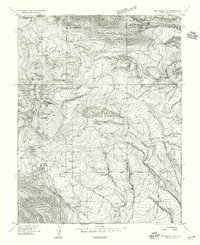
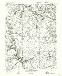
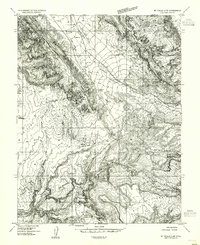
Editions of this 1954 La Sal Junction Map
4 editions found
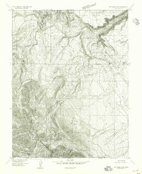
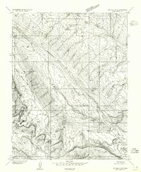
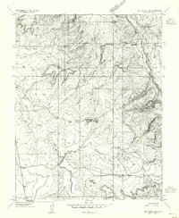
Other maps of this area

1885 · La Sal
USGS Topo · 1:250,000
1954 · Mt Peale 3 NW
USGS Topo · 1:24,000
1954 · Mt. Waas 4 SW
USGS Topo · 1:24,000
1954 · Mt Peale 4 NW
USGS Topo · 1:24,000
1954 · Mt Peale 3 NE
USGS Topo · 1:24,000
1954 · Mt Peale 1 SW
USGS Topo · 1:24,000
1954 · Mt Peale 1 NW
USGS Topo · 1:24,000
1954 · Mt Peale 2 SW
USGS Topo · 1:24,000
1954 · Mt Peale 2 NW
USGS Topo · 1:24,000
1954 · Mt Peale 2 SE
USGS Topo · 1:24,000