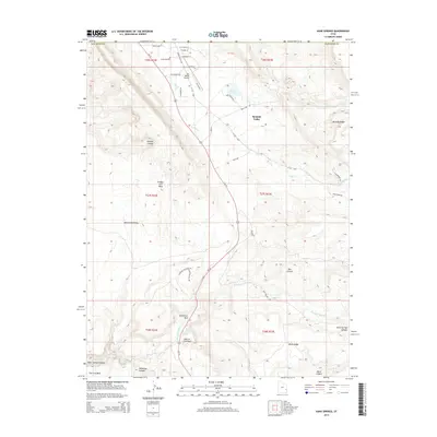
2014 Map of Kane Springs
USGS Topo · Published 2014About this map
Spanish Valley serves as the primary corridor through this high-desert landscape in San Juan County, where the modern path of Us-191 follows the natural drainage of Pack Cr. The map details a transition from the developing residential streets of Sunny Acres Ln and Spanish Valley Dr near the northern edge to the expansive geologic formations of the south. Landmarks such as Hardwater Rock and the notable Hole-In the-Rock occupy the central lowlands, while the terrain rises sharply into Brumley Ridge and Bridger Jack Mesa.
Find a feature on this map
49 named features on this map. Tap any name to fly to it.
Don’t see what you’re looking for? This feature index may not catch every label — zoom into the map to look around manually.
Map Details
Editions of this 2014 Kane Springs Map
This is the sole edition of this map. No revisions or reprints were ever made.
Other maps of this area

1885 · La Sal
USGS Topo · 1:250,000

1954 · Mt Peale 2 SW
USGS Topo · 1:24,000

1954 · Mt Peale 2 NW
USGS Topo · 1:24,000

1954 · Mt Peale 2 SE
USGS Topo · 1:24,000

1954 · Mt. Waas 3 SE
USGS Topo · 1:24,000

1954 · Carlisle 1 NE
USGS Topo · 1:24,000

1954 · Carlisle 1 SE
USGS Topo · 1:24,000

1954 · Mt Peale 2 NE
USGS Topo · 1:24,000

1954 · Mt. Waas 3 SW
USGS Topo · 1:24,000

1954 · La Sal Junction
USGS Topo · 1:62,500