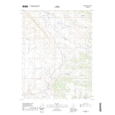
2023 Map of Kane Springs
USGS Topo · Published 2023About this map
Spanish Valley serves as a primary corridor for travel and settlement in this corner of San Juan County, where residential streets like Allen St and Tangren Ln meet the open terrain. The landscape is defined by massive formations such as Bridger Jack Mesa and Brumley Ridge, creating a network of deep drainages including Hunters Canyon and Kane Springs Canyon. Water management is evident at Kens Lake, a vital point of collection for the surrounding arid mesas.
Find a feature on this map
41 named features on this map. Tap any name to fly to it.
Don’t see what you’re looking for? This feature index may not catch every label — zoom into the map to look around manually.
Map Details
Editions of this 2023 Kane Springs Map
This is the sole edition of this map. No revisions or reprints were ever made.
Other maps of this area

1885 · La Sal
USGS Topo · 1:250,000

1954 · Mt Peale 2 SW
USGS Topo · 1:24,000

1954 · Mt Peale 2 NW
USGS Topo · 1:24,000

1954 · Mt Peale 2 SE
USGS Topo · 1:24,000

1954 · Mt. Waas 3 SE
USGS Topo · 1:24,000

1954 · Carlisle 1 NE
USGS Topo · 1:24,000

1954 · Carlisle 1 SE
USGS Topo · 1:24,000

1954 · Mt Peale 2 NE
USGS Topo · 1:24,000

1954 · Mt. Waas 3 SW
USGS Topo · 1:24,000

1954 · La Sal Junction
USGS Topo · 1:62,500