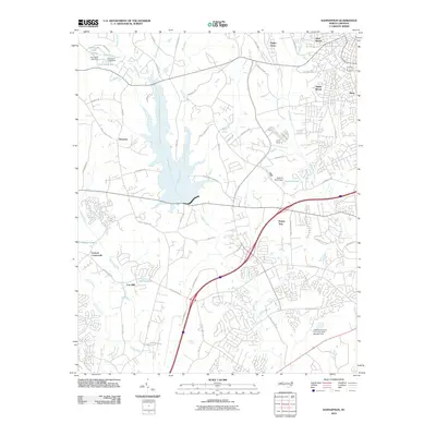
2010 Map of Kannapolis
USGS Topo · Published 2010About this map
Coddle Creek and the Rocky River define the hydraulic landscape of this region west of the Kannapolis city center during the first decade of the 21st century. The map documents a period of suburban transition where historic community centers like Poplar Tent and Cox Mill are surrounded by an expanding network of residential developments and new infrastructure, such as the Kannapolis Pkwy. The drainage patterns of Mill Creek and Irish Buffalo Creek illustrate the rolling topography that once supported a purely agrarian economy, now punctuated by local landmarks like Camp Cabarrus and several significant water impoundments.
Find a feature on this map
69 named features on this map. Tap any name to fly to it.
Don’t see what you’re looking for? This feature index may not catch every label — zoom into the map to look around manually.
Map Details
Editions of this 2010 Kannapolis Map
This is the sole edition of this map. No revisions or reprints were ever made.
Other maps of this area

1893 · Statesville
USGS Topo · 1:125,000

1941 · Charlotte
USGS Topo · 1:125,000

1942 · Charlotte
USGS Topo · 1:125,000

1948 · Derita
USGS Topo · 1:24,000

1949 · Kannapolis
USGS Topo · 1:24,000

1949 · Harrisburg
USGS Topo · 1:24,000

1949 · Concord SE
USGS Topo · 1:24,000

1950 · Concord
USGS Topo · 1:24,000

1953 · Charlotte
USGS Topo · 1:250,000

1954 · Charlotte
USGS Topo · 1:250,000