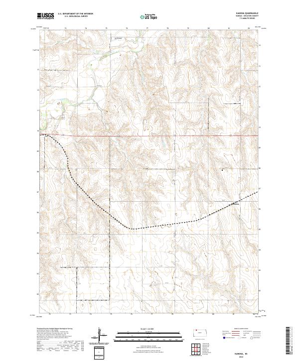
2022 Map of Kanona
USGS Topo · Published 2022About this map
Kanona serves as the primary focal point of this Decatur County landscape, situated amidst a network of agricultural roads and drainage draws. The settlement is anchored by the Kanona Cem, which provides a specific point of interest for genealogists tracing family roots in this rural township. The terrain is defined by the winding course of Sappa Cr in the northwest and Cotton Cr further east, illustrating how water access shaped the original land divisions of t2s r28w and surrounding townships.
Find a feature on this map
21 named features on this map. Tap any name to fly to it.
Don’t see what you’re looking for? This feature index may not catch every label — zoom into the map to look around manually.
Map Details
Editions of this 2022 Kanona Map
This is the sole edition of this map. No revisions or reprints were ever made.
Other maps of this area

1951 · Selden
USGS Topo · 1:62,500

1951 · Oberlin
USGS Topo · 1:62,500

1951 · Kanona
USGS Topo · 1:62,500

1954 · Goodland
USGS Topo · 1:250,000

1956 · Goodland
USGS Topo · 1:250,000

1957 · Goodland
USGS Topo · 1:250,000

1965 · Kanona SE
USGS Topo · 1:24,000

1965 · Oberlin
USGS Topo · 1:24,000

1965 · Kanona
USGS Topo · 1:24,000
1965 · Kanona NW
USGS Topo · 1:24,000