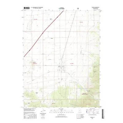
2017 Map of Kanosh
USGS Topo · Published 2017About this map
Kanosh and the smaller settlement of Hatton anchor this corner of the Pahvant Valley, where the flat agricultural basin meets the rising terrain of the Fishlake National Forest. The landscape is defined by the transition from arid valley floors to the canyon-cut highlands of the southeast. Notable geological features like the Black Rock Volcano and the geothermal activity at Hot Spring speak to the area's volcanic history. Local life is centered along Corn Cr, which flows through the town of Kanosh, while several springs such as Corn Creek Spring and Dual Springs provide vital water sources in the high country. Genealogists can identify specific burial locations at the Kanosh Cem and the smaller Hockman Cem, both serving as important records for the local community.
Find a feature on this map
49 named features on this map. Tap any name to fly to it.
Don’t see what you’re looking for? This feature index may not catch every label — zoom into the map to look around manually.
Map Details
Editions of this 2017 Kanosh Map
This is the sole edition of this map. No revisions or reprints were ever made.
Other maps of this area

1885 · Beaver
USGS Topo · 1:250,000

1932 · Sevier
USGS Topo · 1:62,500

1935 · Sevier
USGS Topo · 1:62,500

1953 · Richfield
USGS Topo · 1:250,000

1958 · Richfield
USGS Topo · 1:250,000

1960 · Meadow
USGS Topo · 1:24,000

1961 · Fillmore
USGS Topo · 1:24,000

1962 · Fillmore
USGS Topo · 1:62,500

1962 · Tabernacle Hill
USGS Topo · 1:62,500

1962 · Cove Fort
USGS Topo · 1:62,500