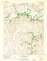
1964 Map of Kansas Falls
USGS Topo · Published 1965About this map
The Smoky Hill River meanders through the heart of the central Kansas prairie, defining the boundary between Dickinson and Geary counties during the mid-1960s. This survey illustrates a rural landscape where the river's tight oxbows surround features like Goat Island and the named landmark of Kansas Falls. Along the southern half of the map, Lyon Creek creates a complex network of loops as it flows north toward the Smoky Hill.
Find a feature on this map
21 named features on this map. Tap any name to fly to it.
Don’t see what you’re looking for? This feature index may not catch every label — zoom into the map to look around manually.
Map Details
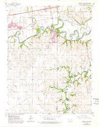
Editions of this 1964 Kansas Falls Map
2 editions found
Other maps of this area

1886 · Junction City
USGS Topo · 1:125,000

1889 · Junction City
USGS Topo · 1:125,000

1889 · Abilene
USGS Topo · 1:125,000

1889 · Parkerville
USGS Topo · 1:125,000

1891 · Clay Center
USGS Topo · 1:125,000

1894 · Junction City
USGS Topo · 1:125,000

1894 · Abilene
USGS Topo · 1:125,000

1894 · Parkerville
USGS Topo · 1:125,000

1947 · Fort Riley
USGS Topo · 1:62,500

1950 · Junction City
USGS Topo · 1:24,000