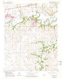
1964 Map of Kansas Falls
USGS Topo · Published 1978About this map
The Smoky Hill River meanders across the border of Dickinson and Geary Counties, carving a wide floodplain that includes the unique formation of Goat Island. This 1964 survey captures the landscape as it transitioned through the mid-20th century, with significant levee systems flanking the river to manage the seasonal flow. The settlement of Kansas Falls sits along the Union Pacific line, marking a point where heavy infrastructure meets the water. To the south, the terrain becomes more varied as Lyon Creek and its tributaries, such as Spring Branch and Schuler Spring, cut through the rural townships of Noble and Rinehart. Local history is preserved in landmarks like the Rinehart Cem, Mt Zion Ch, and the riverside Camp Aubrey Henning, while several quarries and pits indicate the area's geological utility.
Find a feature on this map
22 named features on this map. Tap any name to fly to it.
Don’t see what you’re looking for? This feature index may not catch every label — zoom into the map to look around manually.
Map Details
Editions of this 1964 Kansas Falls Map
2 editions found
Other maps of this area

1886 · Junction City
USGS Topo · 1:125,000

1889 · Junction City
USGS Topo · 1:125,000

1889 · Abilene
USGS Topo · 1:125,000

1889 · Parkerville
USGS Topo · 1:125,000

1891 · Clay Center
USGS Topo · 1:125,000

1894 · Junction City
USGS Topo · 1:125,000

1894 · Abilene
USGS Topo · 1:125,000

1894 · Parkerville
USGS Topo · 1:125,000

1947 · Fort Riley
USGS Topo · 1:62,500

1950 · Junction City
USGS Topo · 1:24,000