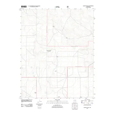
2011 Map of Kansas Valley
USGS Topo · Published 2011About this map
Kiowa National Grassland dominates this high plains landscape in northeastern New Mexico, revealing a vast expanse managed for conservation and grazing. The topography is defined by the Kansas Valley, where the subtle shifts in elevation are meticulously tracked. This 2011 survey highlights the critical role of water infrastructure in this arid environment, marking several family-named or locality-based water sources such as the West Spear Windmill, Jackson Windmill, and Slusher Windmill. These features indicate the ongoing agricultural and ranching utility of the land.
Find a feature on this map
9 named features on this map. Tap any name to fly to it.
Don’t see what you’re looking for? This feature index may not catch every label — zoom into the map to look around manually.
Map Details
Editions of this 2011 Kansas Valley Map
This is the sole edition of this map. No revisions or reprints were ever made.
Other maps of this area

1954 · Santa Fe
USGS Topo · 1:250,000

1954 · Raton
USGS Topo · 1:250,000

1954 · Tucumcari
USGS Topo · 1:250,000

1954 · Dalhart
USGS Topo · 1:250,000

1958 · Raton
USGS Topo · 1:250,000

1958 · Santa Fe
USGS Topo · 1:250,000

1958 · Tucumcari
USGS Topo · 1:250,000

1958 · Dalhart
USGS Topo · 1:250,000

1962 · Dalhart
USGS Topo · 1:250,000

1973 · Sabino
USGS Topo · 1:24,000