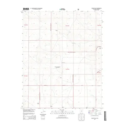
2013 Map of Kansas Valley
USGS Topo · Published 2013About this map
Kiowa National Grassland dominates this high plains landscape in Harding County, where the topography is defined by the ephemeral drainages of Carrizo Cr and Sabino Cr. The area around Kansas Valley reflects a sparse, ranching-oriented settlement pattern characteristic of the New Mexico interior. The primary human imprint on this territory is found in the network of windmills used for livestock and land management, including West Spear Windmill, Jackson Windmill, and Slusher Windmill.
Find a feature on this map
22 named features on this map. Tap any name to fly to it.
Don’t see what you’re looking for? This feature index may not catch every label — zoom into the map to look around manually.
Map Details
Editions of this 2013 Kansas Valley Map
This is the sole edition of this map. No revisions or reprints were ever made.
Other maps of this area

1954 · Santa Fe
USGS Topo · 1:250,000

1954 · Raton
USGS Topo · 1:250,000

1954 · Tucumcari
USGS Topo · 1:250,000

1954 · Dalhart
USGS Topo · 1:250,000

1958 · Raton
USGS Topo · 1:250,000

1958 · Santa Fe
USGS Topo · 1:250,000

1958 · Tucumcari
USGS Topo · 1:250,000

1958 · Dalhart
USGS Topo · 1:250,000

1962 · Dalhart
USGS Topo · 1:250,000

1973 · Sabino
USGS Topo · 1:24,000