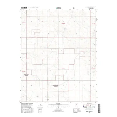
2017 Map of Kansas Valley
USGS Topo · Published 2017About this map
Kiowa National Grassland dominates the landscape of this high-plains region in northeastern New Mexico. The terrain is characterized by a series of significant drainage features and intermittent water sources, including the winding course of Carrizo Cr and the southern flow of Sabino Cr. Notable depressions and washes such as Spear Draw and Reunion Draw trace the path of seasonal water across the open range. In the southern portion of the sheet, the eponymous Kansas Valley sits as a distinct topographical area. Human presence is evidenced primarily by remote infrastructure, such as Spear Tank and localized travel routes including Co Rd R and Miller Ranch Rd, which facilitate movement between the sprawling ranch lands and federal grazing areas.
Find a feature on this map
15 named features on this map. Tap any name to fly to it.
Don’t see what you’re looking for? This feature index may not catch every label — zoom into the map to look around manually.
Map Details
Editions of this 2017 Kansas Valley Map
This is the sole edition of this map. No revisions or reprints were ever made.
Other maps of this area

1954 · Santa Fe
USGS Topo · 1:250,000

1954 · Raton
USGS Topo · 1:250,000

1954 · Tucumcari
USGS Topo · 1:250,000

1954 · Dalhart
USGS Topo · 1:250,000

1958 · Raton
USGS Topo · 1:250,000

1958 · Santa Fe
USGS Topo · 1:250,000

1958 · Tucumcari
USGS Topo · 1:250,000

1958 · Dalhart
USGS Topo · 1:250,000

1962 · Dalhart
USGS Topo · 1:250,000

1973 · Sabino
USGS Topo · 1:24,000