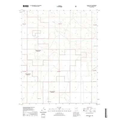
2020 Map of Kansas Valley
USGS Topo · Published 2020About this map
Kiowa National Grassland dominates this high plains landscape in Harding County, where large tracts of public land intermingle with private holdings. The area is defined by a series of intermittent watercourses and draws that drain the territory, including Carrizo Cr, Sabino Cr, and the appropriately named Reunion Draw. The namesake settlement of Kansas Valley sits in the southwestern portion of the quadrangle, serving as a focal point for the surrounding ranching and agricultural operations.
Find a feature on this map
15 named features on this map. Tap any name to fly to it.
Don’t see what you’re looking for? This feature index may not catch every label — zoom into the map to look around manually.
Map Details
Editions of this 2020 Kansas Valley Map
This is the sole edition of this map. No revisions or reprints were ever made.
Other maps of this area

1954 · Santa Fe
USGS Topo · 1:250,000

1954 · Raton
USGS Topo · 1:250,000

1954 · Tucumcari
USGS Topo · 1:250,000

1954 · Dalhart
USGS Topo · 1:250,000

1958 · Raton
USGS Topo · 1:250,000

1958 · Santa Fe
USGS Topo · 1:250,000

1958 · Tucumcari
USGS Topo · 1:250,000

1958 · Dalhart
USGS Topo · 1:250,000

1962 · Dalhart
USGS Topo · 1:250,000

1973 · Sabino
USGS Topo · 1:24,000