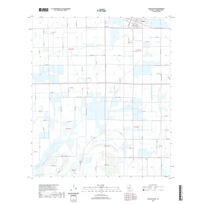
2020 Map of Kaplan South
USGS Topo · Published 2020About this map
The town of Kaplan anchors the northern edge of this coastal prairie landscape, where the grid of Vermilion Parish meets a complex system of drainage and irrigation canals. This environment is defined by the managed movement of water through the Bull Moose Canal, Number Five Canal, and Zigler Canal, essential infrastructure for the region's agricultural life. Moving south toward the wetlands, the terrain breaks into distinct rises or "islands" such as Dog Island, Second Island, and Third Island, which provide topographic relief in the low-lying marshy stretches.
Find a feature on this map
106 named features on this map. Tap any name to fly to it.
Don’t see what you’re looking for? This feature index may not catch every label — zoom into the map to look around manually.
Map Details
Editions of this 2020 Kaplan South Map
This is the sole edition of this map. No revisions or reprints were ever made.
Other maps of this area

1932 · Abbeville SW
USGS Topo · 1:31,680

1932 · Abbeville NW
USGS Topo · 1:31,680

1946 · Morse
USGS Topo · 1:31,680

1946 · Schooner Bayou SE
USGS Topo · 1:31,680

1946 · Leroy
USGS Topo · 1:31,680

1946 · Schooner Bayou NE
USGS Topo · 1:31,680

1946 · Schooner Bayou NW
USGS Topo · 1:31,680

1946 · Kaplan
USGS Topo · 1:31,680

1946 · Schooner Bayou SW
USGS Topo · 1:31,680

1952 · Lake Charles
USGS Topo · 1:250,000