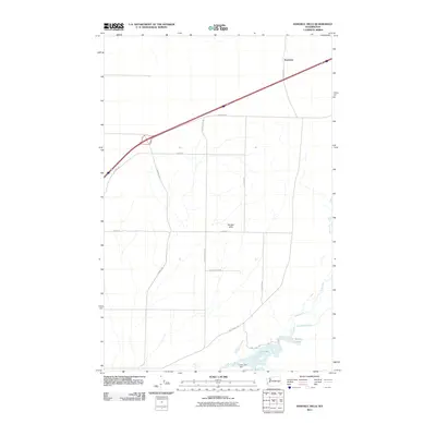
2011 Map of Karakul Hills
USGS Topo · Published 2011About this map
Karakul Hills define the rolling landscape of this rural Washington interior, where a sparse network of section roads connects isolated agricultural plots and water features. The settlement of Keystone sits in the northeast, positioned near a primary transportation corridor that cuts across the northern half of the sheet. The southern drainage area is dominated by the course of Cow Creek, which feeds into Cow Lake and the smaller Hallin Lake. The presence of the Cow Lake Dam indicates 21st-century water management in this arid environment, while seasonal flows such as Lugenbeal Creek provide further clues to the hydrology of the basin. Local-history researchers can trace family-named routes like N Durry Rd and N Carico Hills Rd as they navigate the distinct topography of the hills.
Find a feature on this map
17 named features on this map. Tap any name to fly to it.
Don’t see what you’re looking for? This feature index may not catch every label — zoom into the map to look around manually.
Map Details
Editions of this 2011 Karakul Hills Map
This is the sole edition of this map. No revisions or reprints were ever made.
Other maps of this area

1953 · Ritzville
USGS Topo · 1:250,000

1959 · Ritzville
USGS Topo · 1:250,000

1964 · Karakul Hills
USGS Topo · 1:24,000

1964 · Macall
USGS Topo · 1:24,000

1964 · Palm Lake
USGS Topo · 1:24,000

1964 · Marengo
USGS Topo · 1:24,000

1965 · Ritzville
USGS Topo · 1:250,000

1967 · Ritzville SE
USGS Topo · 1:24,000

1967 · Ritzville NE
USGS Topo · 1:24,000

1969 · Sprague Lake
USGS Topo · 1:24,000