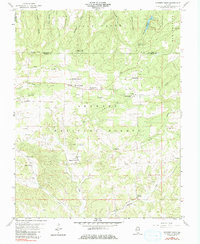
1959 Map of Karbers Ridge
USGS Topo · Published 1981About this map
Karbers Ridge and Sparks Hill sit at the center of this rural landscape in the Shawnee National Forest during the late 1950s. The settlement patterns reflect a rugged, upland character defined by high points like High Knob and the Pounds Escarpment to the north. These topographical features, along with the Buzzards Point landmark on the Gallatin-Hardin county line, illustrate the complex limestone and sandstone geography of Southern Illinois. The map traces the winding paths of Big Creek and Goose Creek, providing a detailed look at the rural road networks and scattered homesites that defined this area before modern developments changed the local infrastructure. Researchers will find numerous cemeteries and small churches, such as Good Hope Ch and Philadelphia Ch, which serve as vital markers for family historians tracing roots in this corner of Hardin County.
Find a feature on this map
2 named features on this map. Tap any name to fly to it.
Don’t see what you’re looking for? This feature index may not catch every label — zoom into the map to look around manually.
Map Details
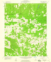
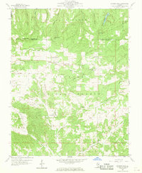
Editions of this 1959 Karbers Ridge Map
3 editions found
Other maps of this area

1916 · Shawneetown
USGS Topo · 1:62,500

1916 · Fords Ferry
USGS Topo · 1:62,500

1916 · Golconda
USGS Topo · 1:62,500

1916 · Equality
USGS Topo · 1:62,500

1920 · Goloonda
USGS Topo · 1:48,000

1921 · Fords Ferry
USGS Topo · 1:48,000

1921 · Golconda
USGS Topo · 1:62,500

1925 · Cave In Rock
USGS Topo · 1:62,500

1949 · Paducah
USGS Topo · 1:250,000

1950 · Paducah
USGS Topo · 1:250,000