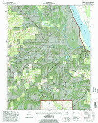
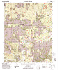
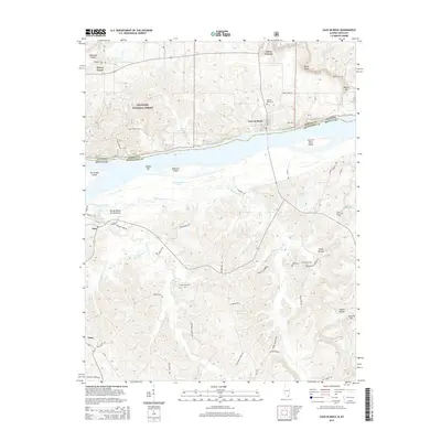
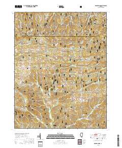
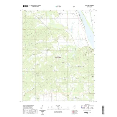
1996 Map of Saline Mines
USGS Topo · Published 1998About this map
The Ohio River forms the eastern boundary of this terrain where the Saline River cuts through the heavy timber of the Shawnee National Forest. This landscape is defined by its deep mining history, evidenced by the extensive Mahoning Mines complex and numerous smaller operations like the Minerva Mine No 1 and Goose Creek Mine. The settlement of Saline Mines sits near the northern edge, while Saline Landing marks a point of river access to the south.
Find a feature on this map
67 named features on this map. Tap any name to fly to it.
Don’t see what you’re looking for? This feature index may not catch every label — zoom into the map to look around manually.
Map Details
Editions of this 1996 Saline Mines Map
This is the sole edition of this map. No revisions or reprints were ever made.
Historical Maps of Rock Creek Through Time
20 maps found
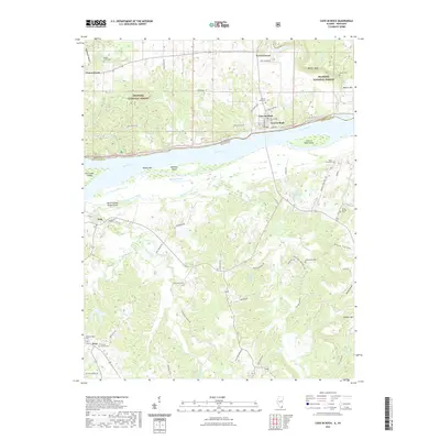
1916 Cave in Rock
Hardin County, IL
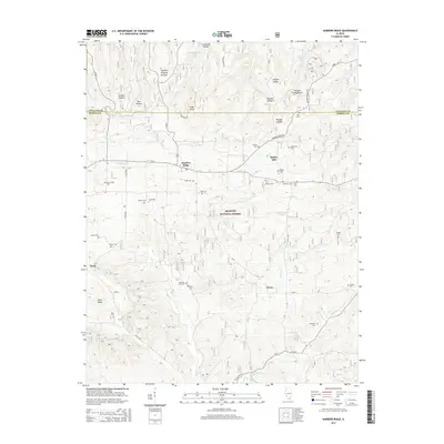
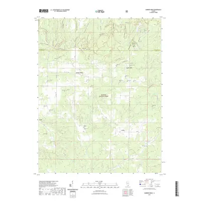
1959 Karbers Ridge
Hardin County, IL
1959 Saline Mines
Hardin County, IL
1996 Karbers Ridge
Hardin County, IL
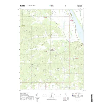
1996 Saline Mines
Hardin County, IL
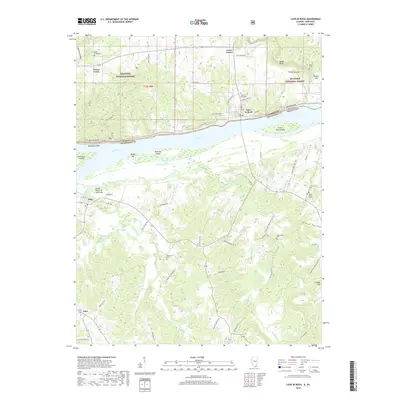
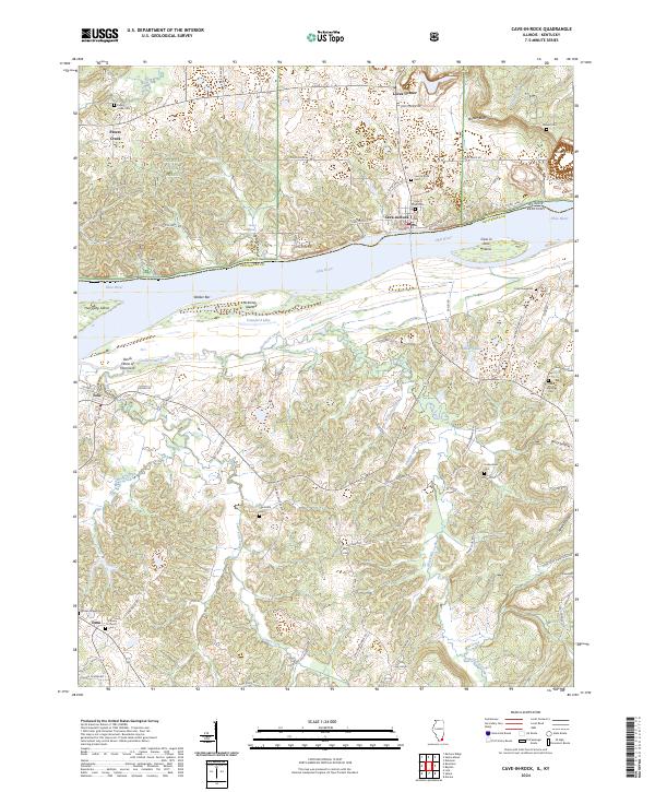
2011 Cave-in-Rock
Hardin County, IL
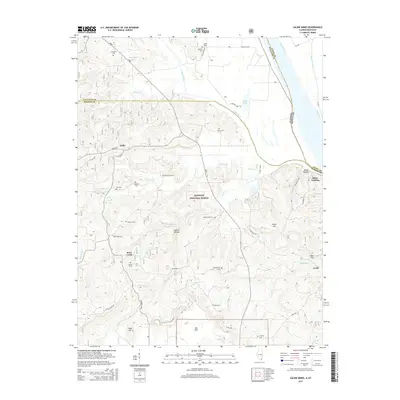
2011 Saline Mines
Hardin County, IL
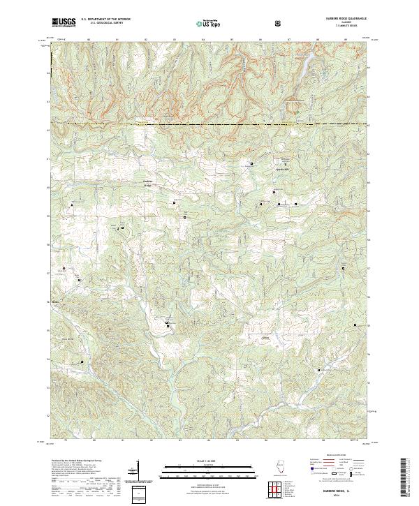
2012 Karbers Ridge
Hardin County, IL
2015 Cave-in-Rock
Hardin County, IL
2015 Karbers Ridge
Hardin County, IL
2015 Saline Mines
Hardin County, IL
2018 Cave-in-Rock
Hardin County, IL
2018 Karbers Ridge
Hardin County, IL
2018 Saline Mines
Hardin County, IL
2021 Cave-in-Rock
Hardin County, IL
2021 Karbers Ridge
Hardin County, IL
2021 Saline Mines
Hardin County, IL
2024 Cave-in-Rock
Hardin County, IL
2024 Karbers Ridge
Hardin County, IL
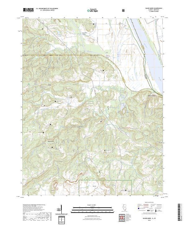
2024 Saline Mines
Hardin County, IL