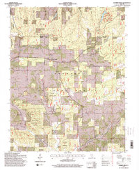
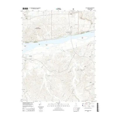
1916 Map of Cave in Rock
USGS Topo · Published 1924About this map
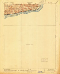
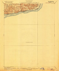
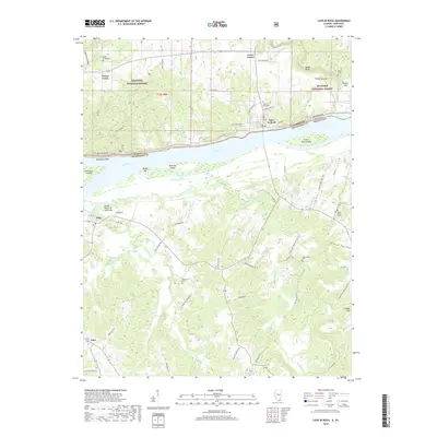
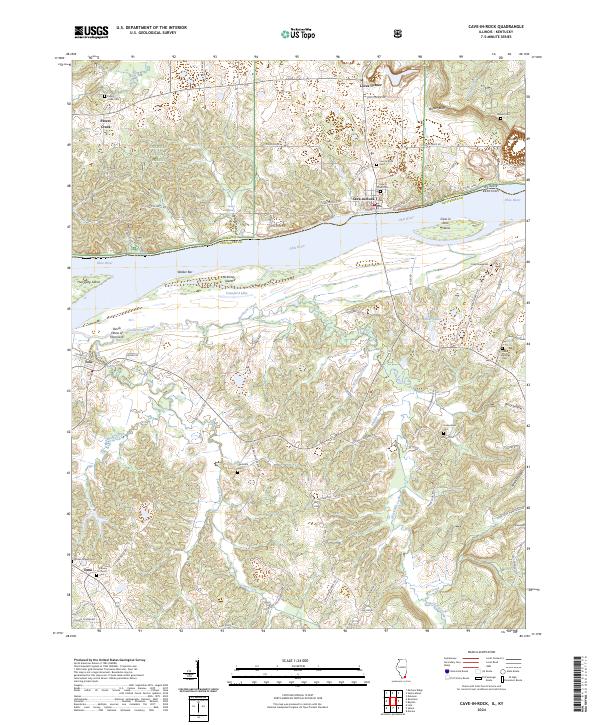
The Ohio River forms a jagged natural boundary between Illinois and Kentucky in this 1914 survey, where the rugged bluffs of the Shawnee Hills meet the water. This preliminary edition highlights the riverfront's commercial and educational landscape, featuring a string of rural schools such as Love School, McDowell School, and Double Box School situated inland from the cliffs. Local commerce at the time was concentrated near the water at Peters Cr Store and Frailey Store.
Find a feature on this map
20 named features on this map. Tap any name to fly to it.
Don’t see what you’re looking for? This feature index may not catch every label — zoom into the map to look around manually.
Map Details
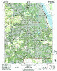
Editions of this 1916 Cave in Rock Map
2 editions found
Historical Maps of Marion Through Time
20 maps found
1916 Cave in Rock
Hardin County, IL
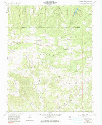
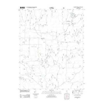
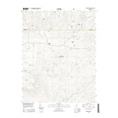
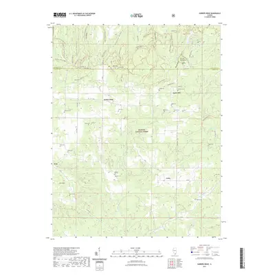
1959 Karbers Ridge
Hardin County, IL
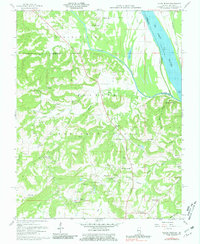
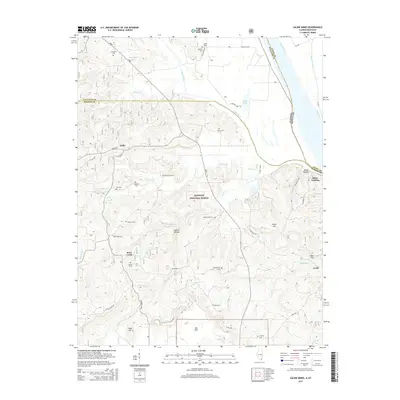
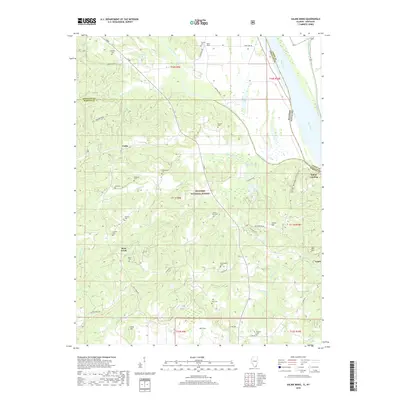
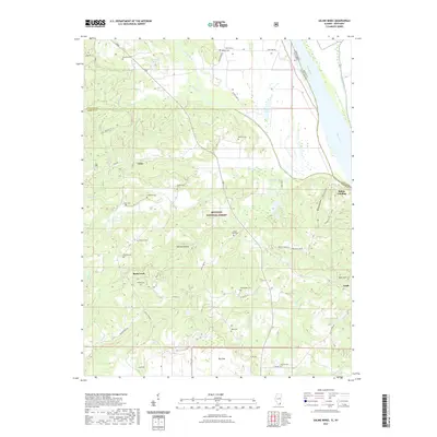
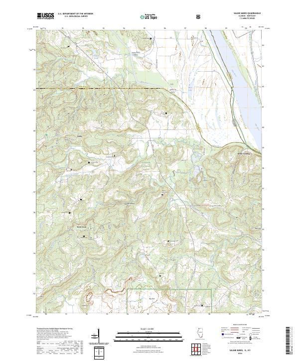
1959 Saline Mines
Hardin County, IL
1996 Karbers Ridge
Hardin County, IL
1996 Saline Mines
Hardin County, IL
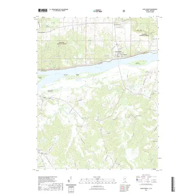
2011 Cave-in-Rock
Hardin County, IL
2011 Saline Mines
Hardin County, IL
2012 Karbers Ridge
Hardin County, IL
2015 Cave-in-Rock
Hardin County, IL
2015 Karbers Ridge
Hardin County, IL
2015 Saline Mines
Hardin County, IL
2018 Cave-in-Rock
Hardin County, IL
2018 Karbers Ridge
Hardin County, IL
2018 Saline Mines
Hardin County, IL
2021 Cave-in-Rock
Hardin County, IL
2021 Karbers Ridge
Hardin County, IL
2021 Saline Mines
Hardin County, IL
2024 Cave-in-Rock
Hardin County, IL
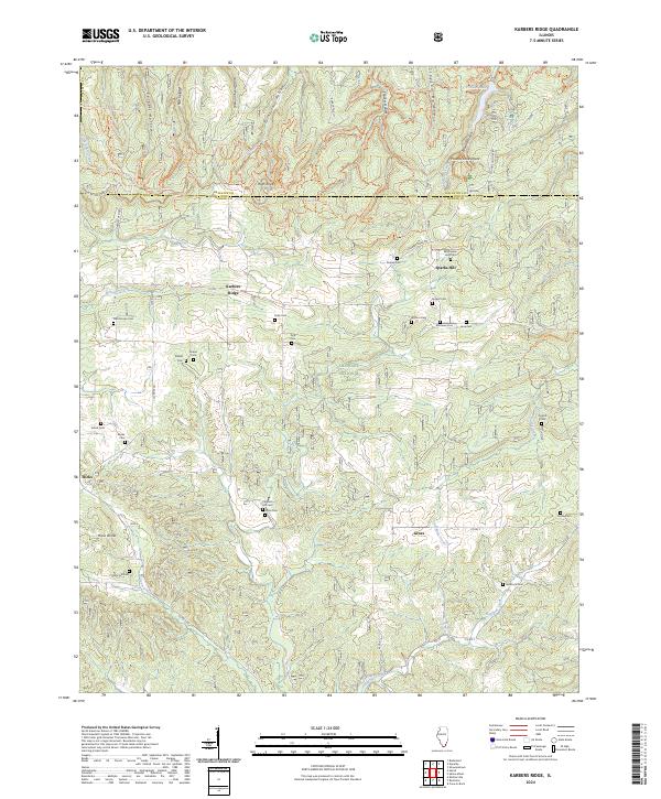
2024 Karbers Ridge
Hardin County, IL
2024 Saline Mines
Hardin County, IL