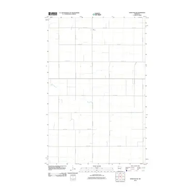
2010 Map of Karlstad SW
USGS Topo · Published 2010About this map
Oslo Cemetery stands as the primary landmark in this sparsely populated agricultural stretch of Kittson County, located near the intersection of County Hwy 11 and County Hwy 19. The landscape is defined by a rigorous township grid of gravel roads and section lines, typical of the Red River Valley region. Meandering stream beds break the geometric pattern of the fields, particularly south of Csah 18. The network of secondary routes, including 290th Ave NW and 450th St NW, provides a detailed look at the rural infrastructure and land divisions as they existed in the early twenty-first century. This survey documents the persistent rural character of the far northwestern corner of Minnesota, where long-established cemetery sites and county roads often provide the only named markers for family genealogists and local historians.
Find a feature on this map
20 named features on this map. Tap any name to fly to it.
Don’t see what you’re looking for? This feature index may not catch every label — zoom into the map to look around manually.
Map Details
Editions of this 2010 Karlstad SW Map
This is the sole edition of this map. No revisions or reprints were ever made.
Other maps of this area

1918 · Argyle
USGS Topo · 1:62,500

1939 · Kennedy
USGS Topo · 1:62,500

1941 · Kennedy
USGS Topo · 1:62,500

1952 · Thief River Falls
USGS Topo · 1:250,000

1954 · Stephen
USGS Topo · 1:62,500

1956 · Thief River Falls
USGS Topo · 1:250,000

1956 · Karlstad
USGS Topo · 1:62,500

1956 · Florian
USGS Topo · 1:62,500

1957 · Thief River Falls
USGS Topo · 1:250,000

1967 · Thief River Falls
USGS Topo · 1:250,000