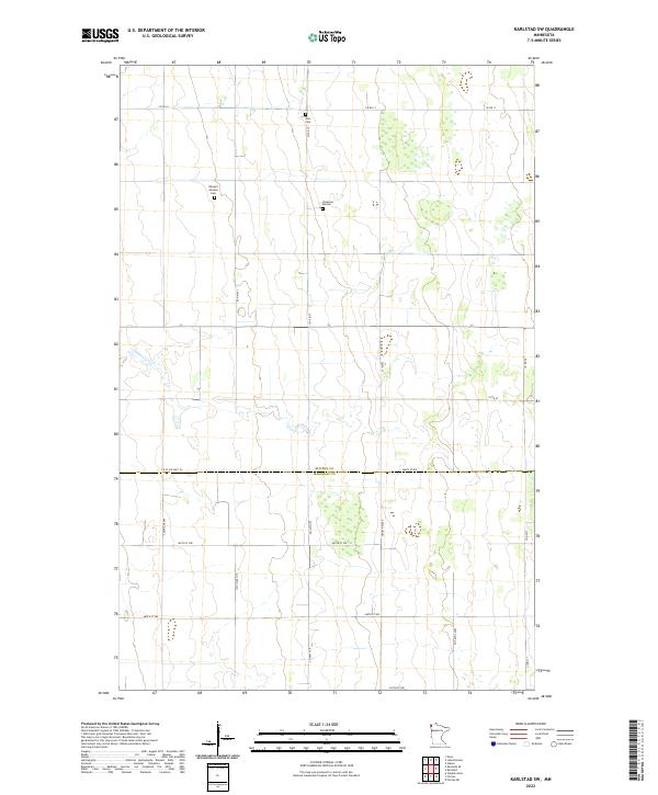
2022 Map of Karlstad SW
USGS Topo · Published 2022About this map
The boundary between Kittson and Marshall Counties defines the southern portion of this landscape, where the flat terrain is meticulously organized by the Public Land Survey System. Small, family-associated burial sites are scattered among the section lines, reflecting the early settlement patterns of this agrarian region. Notable markers of local history include the Edward Johnson Cemetery, located in the north-central area, and the Oslo Cemetery further north. These sites, along with the Pederson Burials, provide important anchor points for genealogical research in a region dominated by a grid of county roads and state aid highways. The drainage patterns and wetlands shown here illustrate the subtle topography that influenced the placement of farms and transit routes like County State Aid Highway 18 and County Highway 1.
Find a feature on this map
26 named features on this map. Tap any name to fly to it.
Don’t see what you’re looking for? This feature index may not catch every label — zoom into the map to look around manually.
Map Details
Editions of this 2022 Karlstad SW Map
This is the sole edition of this map. No revisions or reprints were ever made.
Other maps of this area

1918 · Argyle
USGS Topo · 1:62,500

1939 · Kennedy
USGS Topo · 1:62,500

1941 · Kennedy
USGS Topo · 1:62,500

1952 · Thief River Falls
USGS Topo · 1:250,000

1954 · Stephen
USGS Topo · 1:62,500

1956 · Thief River Falls
USGS Topo · 1:250,000

1956 · Karlstad
USGS Topo · 1:62,500

1956 · Florian
USGS Topo · 1:62,500

1957 · Thief River Falls
USGS Topo · 1:250,000

1967 · Thief River Falls
USGS Topo · 1:250,000