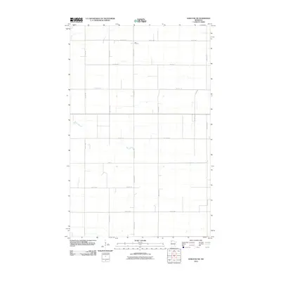
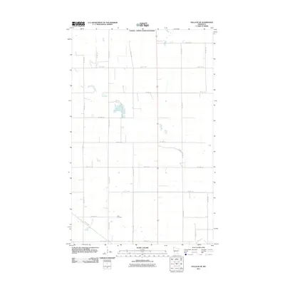
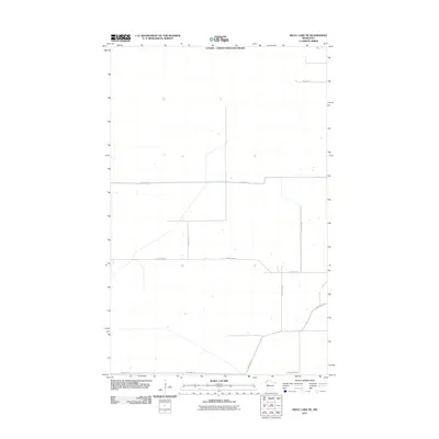
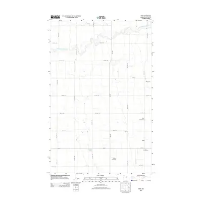
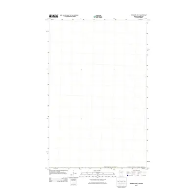
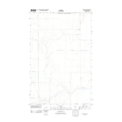
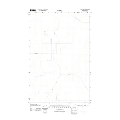
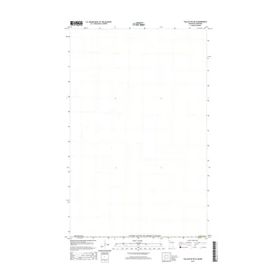
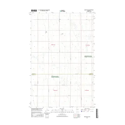
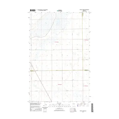
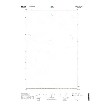
1982 Map of Karlstad SW
USGS Topo · Published 1987About this map
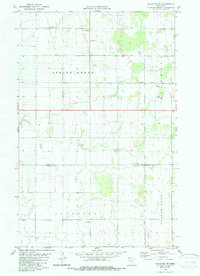
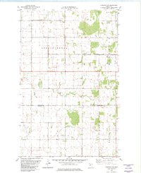
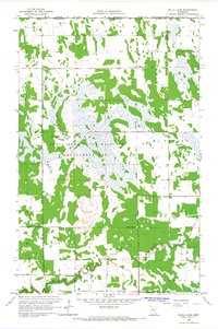
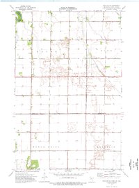
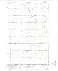
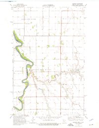
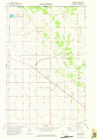
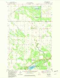
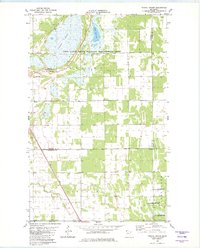
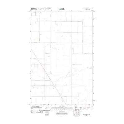
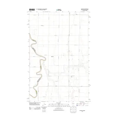
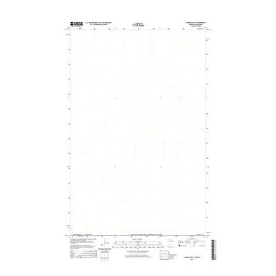
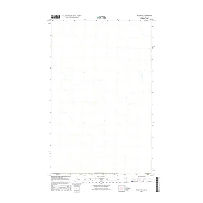
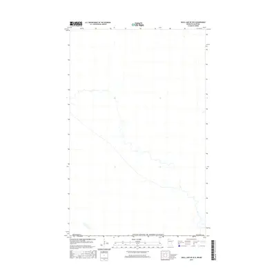
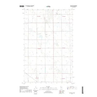
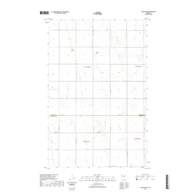
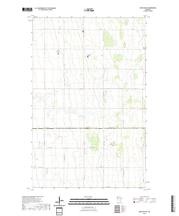
Spring Brook and Augsburg townships define this corner of the Red River Valley, captured in the early 1980s. The landscape is characterized by a precise grid of sections and managed water drainage, most notably County Ditch No 10 which cuts through the northeastern reaches of the map. Local civic life is marked by the presence of a Townhall near the center of the survey and the Oslo Cem to the north, reflecting the small-scale infrastructure of this agricultural region.
Find a feature on this map
9 named features on this map. Tap any name to fly to it.
Don’t see what you’re looking for? This feature index may not catch every label — zoom into the map to look around manually.
Map Details
Editions of this 1982 Karlstad SW Map
2 editions found
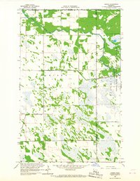
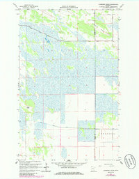
Historical Maps of Kittson County Through Time
116 maps found
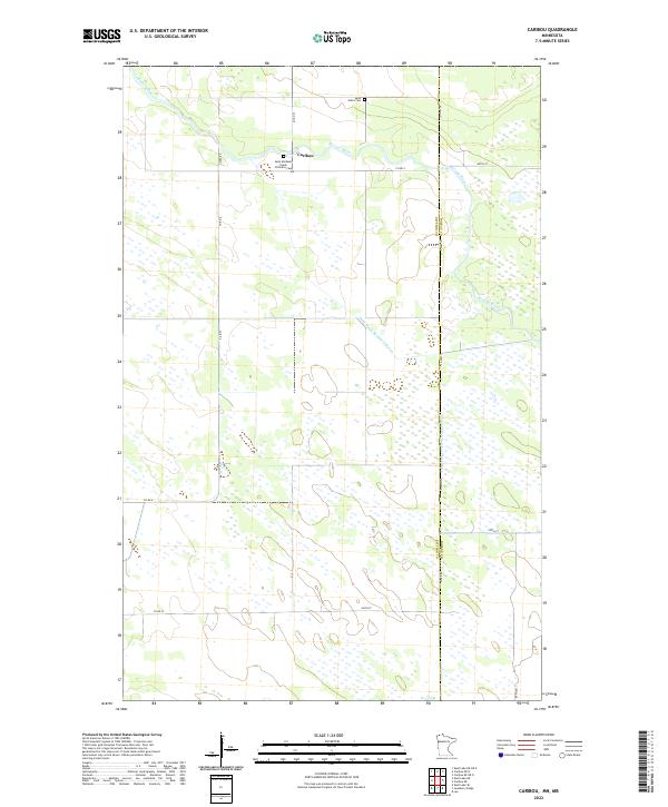
1966 Caribou
Kittson County, MN
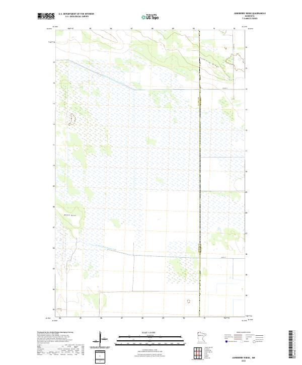
1966 Juneberry Ridge
Kittson County, MN
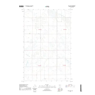
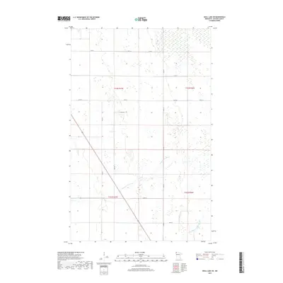
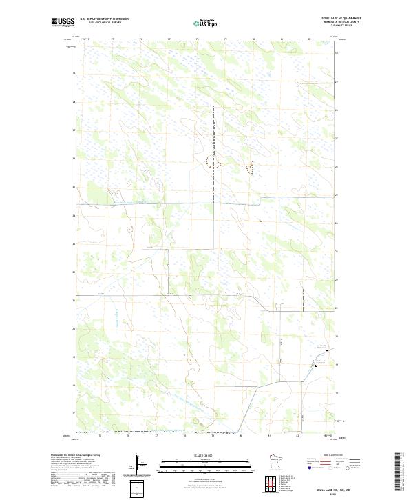
1966 Skull Lake
Kittson County, MN
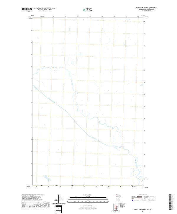
1966 Skull Lake NE
Kittson County, MN
1966 Skull Lake SE
Kittson County, MN
1966 Skull Lake SW
Kittson County, MN
1974 Drayton SE
Kittson County, MN
1974 Enok
Kittson County, MN
1974 Hallock NE
Kittson County, MN
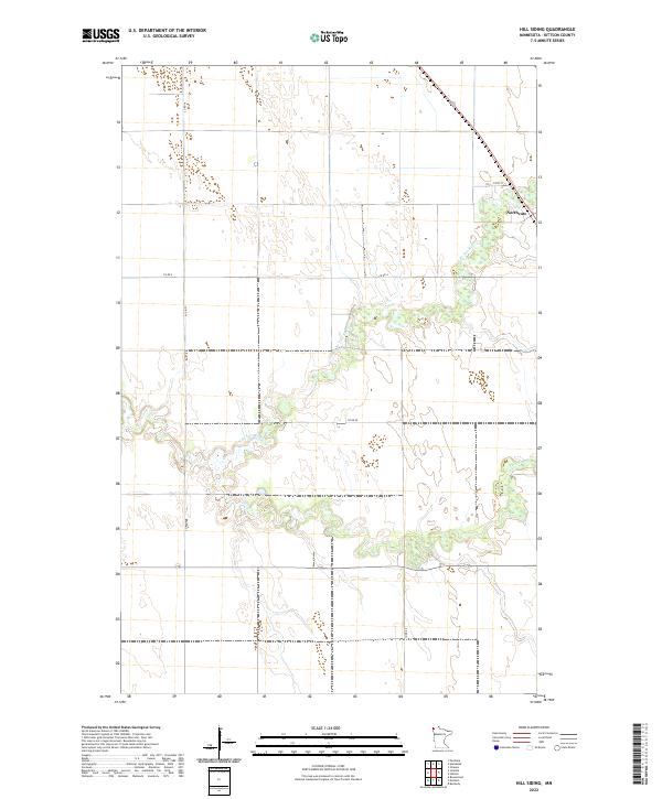
1974 Hill Siding
Kittson County, MN
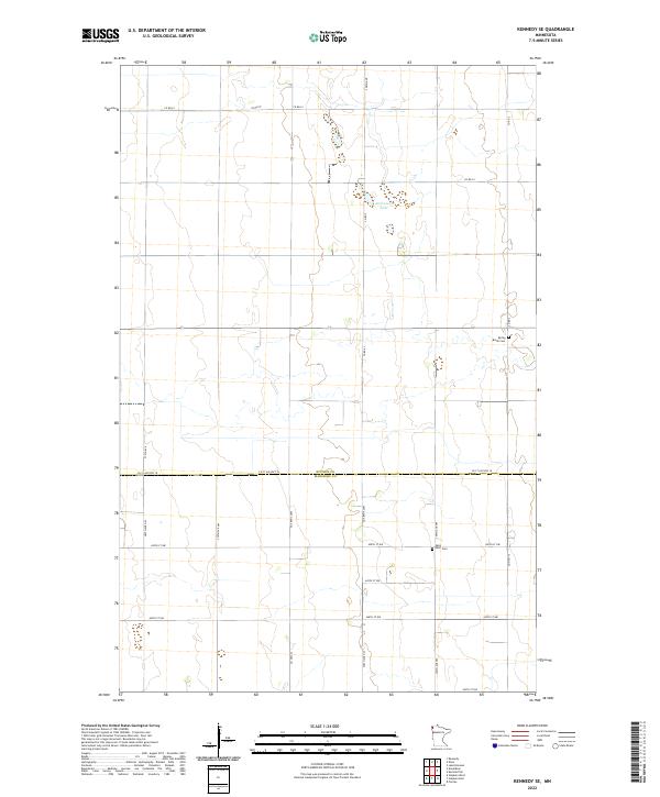
1974 Kennedy SE
Kittson County, MN
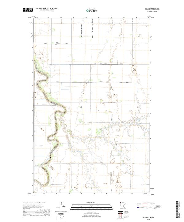
1974 Mattson
Kittson County, MN
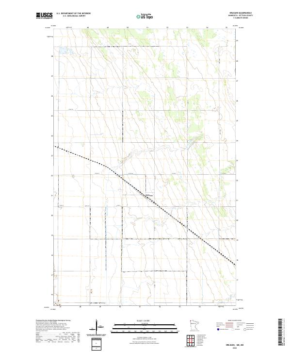
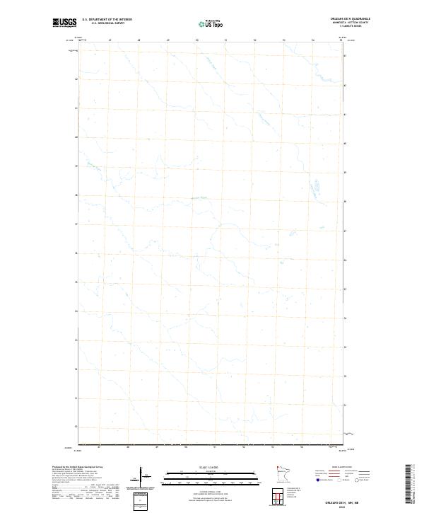
1974 Orleans
Kittson County, MN
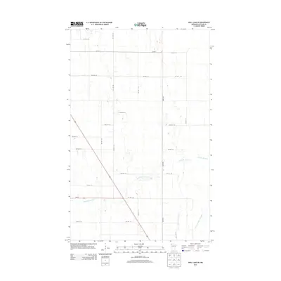
1982 Karlstad SW
Kittson County, MN
1982 Pelan
Kittson County, MN
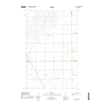
1982 Twistal Swamp
Kittson County, MN
2010 Enok
Kittson County, MN
2010 Hill Siding
Kittson County, MN
2010 Juneberry Ridge
Kittson County, MN
2010 Karlstad SW
Kittson County, MN
2010 Kennedy SE
Kittson County, MN
2010 Pelan
Kittson County, MN
2010 Skull Lake SE
Kittson County, MN
2010 Skull Lake SW
Kittson County, MN
2010 Twistal Swamp
Kittson County, MN
2011 Caribou
Kittson County, MN
2011 Drayton SE
Kittson County, MN
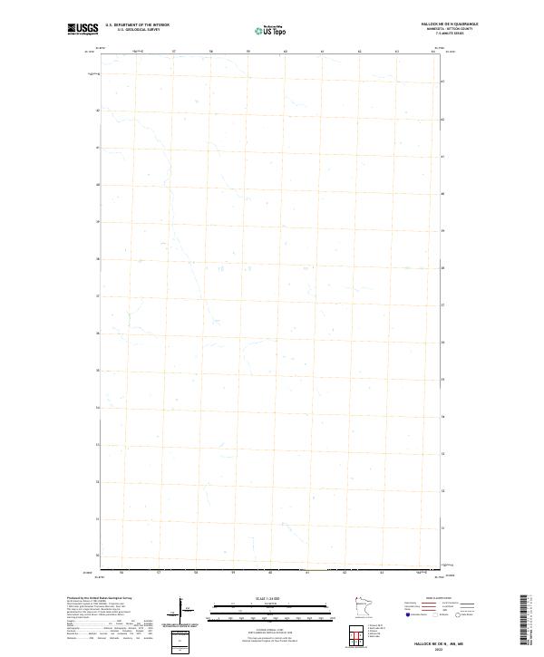
2011 Hallock NE
Kittson County, MN
2011 Mattson
Kittson County, MN
2011 Orleans
Kittson County, MN
2011 Skull Lake
Kittson County, MN
2011 Skull Lake NE
Kittson County, MN
2013 Caribou
Kittson County, MN
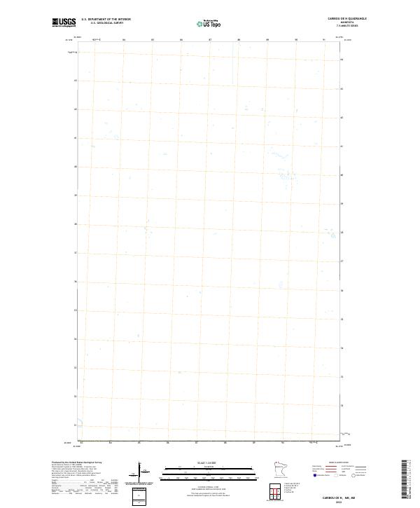
2013 Caribou OE N
Kittson County, MN
2013 Drayton SE
Kittson County, MN
2013 Enok
Kittson County, MN
2013 Hallock NE
Kittson County, MN
2013 Hallock NE OE N
Kittson County, MN
2013 Hill Siding
Kittson County, MN
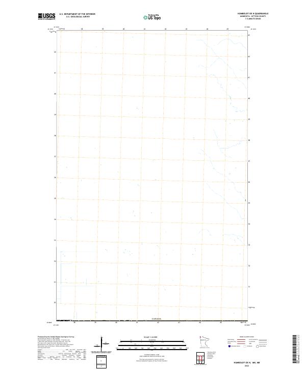
2013 Humboldt OE N
Kittson County, MN
2013 Juneberry Ridge
Kittson County, MN
2013 Karlstad SW
Kittson County, MN
2013 Kennedy SE
Kittson County, MN
2013 Mattson
Kittson County, MN
2013 Orleans
Kittson County, MN
2013 Orleans OE N
Kittson County, MN
2013 Pelan
Kittson County, MN
2013 Skull Lake
Kittson County, MN
2013 Skull Lake NE
Kittson County, MN
2013 Skull Lake NE OE N
Kittson County, MN
2013 Skull Lake OE N
Kittson County, MN
2013 Skull Lake SE
Kittson County, MN
2013 Skull Lake SW
Kittson County, MN
2013 Twistal Swamp
Kittson County, MN
2016 Caribou
Kittson County, MN
2016 Caribou OE N
Kittson County, MN
2016 Drayton SE
Kittson County, MN
2016 Enok
Kittson County, MN
2016 Hallock NE
Kittson County, MN
2016 Hallock NE OE N
Kittson County, MN
2016 Hill Siding
Kittson County, MN
2016 Humboldt OE N
Kittson County, MN
2016 Juneberry Ridge
Kittson County, MN
2016 Karlstad SW
Kittson County, MN
2016 Kennedy SE
Kittson County, MN
2016 Mattson
Kittson County, MN
2016 Orleans
Kittson County, MN
2016 Orleans OE N
Kittson County, MN
2016 Pelan
Kittson County, MN
2016 Skull Lake
Kittson County, MN
2016 Skull Lake NE
Kittson County, MN
2016 Skull Lake NE OE N
Kittson County, MN
2016 Skull Lake OE N
Kittson County, MN
2016 Skull Lake SE
Kittson County, MN
2016 Skull Lake SW
Kittson County, MN
2016 Twistal Swamp
Kittson County, MN
2019 Caribou
Kittson County, MN
2019 Drayton SE
Kittson County, MN
2019 Enok
Kittson County, MN
2019 Hallock NE
Kittson County, MN
2019 Hill Siding
Kittson County, MN
2019 Humboldt OE N
Kittson County, MN
2019 Juneberry Ridge
Kittson County, MN
2019 Karlstad SW
Kittson County, MN
2019 Kennedy SE
Kittson County, MN
2019 Mattson
Kittson County, MN
2019 Orleans
Kittson County, MN
2019 Orleans OE N
Kittson County, MN
2019 Pelan
Kittson County, MN
2019 Skull Lake
Kittson County, MN
2019 Skull Lake NE
Kittson County, MN
2019 Skull Lake SE
Kittson County, MN
2019 Skull Lake SW
Kittson County, MN
2019 Twistal Swamp
Kittson County, MN
2022 Caribou
Kittson County, MN
2022 Caribou OE N
Kittson County, MN
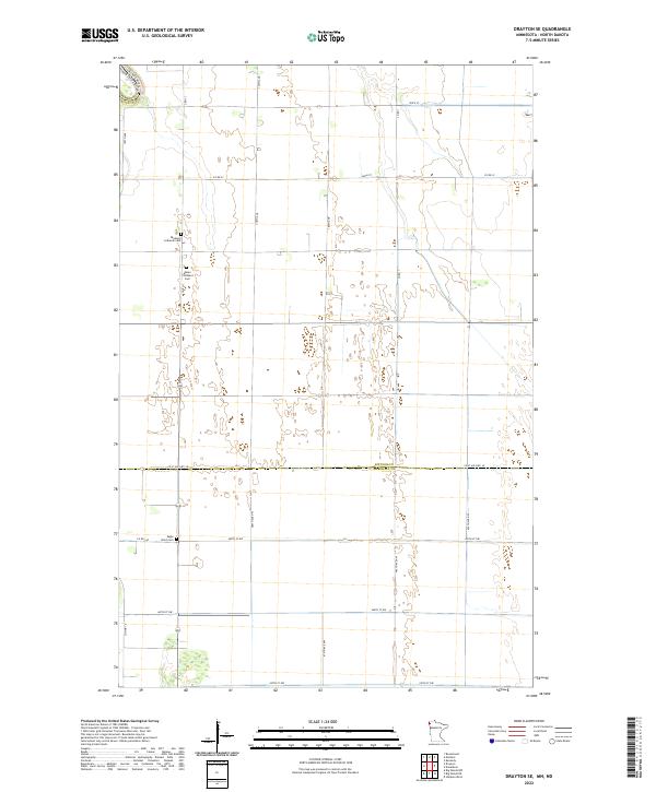
2022 Drayton SE
Kittson County, MN
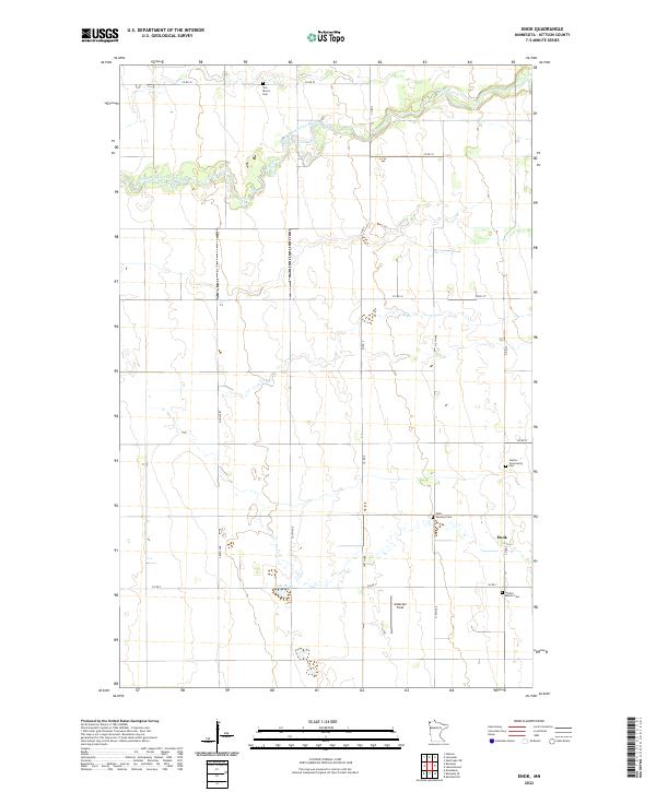
2022 Enok
Kittson County, MN
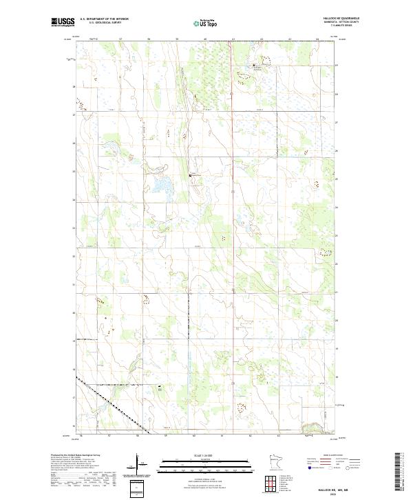
2022 Hallock NE
Kittson County, MN
2022 Hallock NE OE N
Kittson County, MN
2022 Hill Siding
Kittson County, MN
2022 Humboldt OE N
Kittson County, MN
2022 Juneberry Ridge
Kittson County, MN
2022 Karlstad SW
Kittson County, MN
2022 Kennedy SE
Kittson County, MN
2022 Mattson
Kittson County, MN
2022 Orleans
Kittson County, MN
2022 Orleans OE N
Kittson County, MN
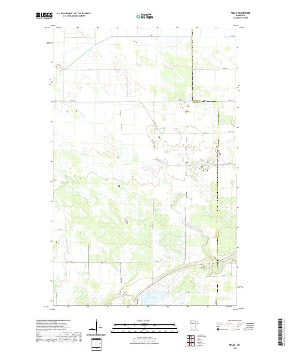
2022 Pelan
Kittson County, MN

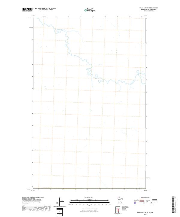
2022 Skull Lake
Kittson County, MN
2022 Skull Lake NE
Kittson County, MN
2022 Skull Lake NE OE N
Kittson County, MN
2022 Skull Lake OE N
Kittson County, MN
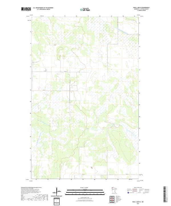
2022 Skull Lake SE
Kittson County, MN
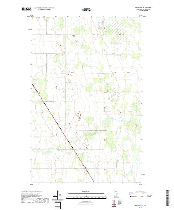
2022 Skull Lake SW
Kittson County, MN

2022 Twistal Swamp
Kittson County, MN