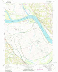
1970 Map of Kaskaskia
USGS Topo · Published 1982About this map
Kaskaskia Island and the complex riverine borderlands between Illinois and Missouri are documented here during the late 20th century. The unique geography of the area, shaped by the shifting Mississippi River, includes remnants of early settlement like Old Kaskaskia and the modern village of Kaskaskia. To the north, Fort Kaskaskia State Park overlooks the confluence where the Kaskaskia River meets the Mississippi near a modern Lock and Dam. The landscape is a network of sloughs and alluvial features, such as Mitchell Slough and Moro Island, punctuated by small communities like Reilly Lake and Dozaville. Researchers will find significant genealogical markers including Kaskaskia Cem and St Marys Ch, alongside rural infrastructure like School No 124 and the Delassus Landing Field, illustrating the persistence of river-town life amidst a dynamic flood plain.
Find a feature on this map
35 named features on this map. Tap any name to fly to it.
Don’t see what you’re looking for? This feature index may not catch every label — zoom into the map to look around manually.
Map Details
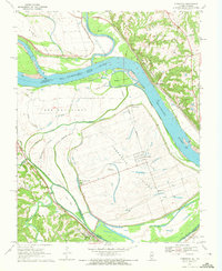
Editions of this 1970 Kaskaskia Map
2 editions found
Other maps of this area

1907 · Weingarten
USGS Topo · 1:62,500

1909 · Weingarten
USGS Topo · 1:62,500

1912 · Baldwin
USGS Topo · 1:62,500

1914 · Baldwin
USGS Topo · 1:62,500

1915 · Renault
USGS Topo · 1:62,500

1915 · Chester
USGS Topo · 1:62,500

1940 · Renault
USGS Topo · 1:62,500

1942 · Baldwin
USGS Topo · 1:62,500

1947 · Chester
USGS Topo · 1:62,500

1949 · Saint Louis
USGS Topo · 1:250,000