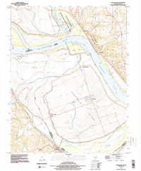
1993 Map of Kaskaskia
USGS Topo · Published 1996About this map
Kaskaskia Island occupies a unique position in this 1993 study, showing the complex riverine landscape where the Mississippi River and Kaskaskia River have historically shifted their paths. The settlement of Kaskaskia and the site of Old Kaskaskia are documented here, surrounded by a network of levees and sloughs like Mitchell Slough and McKey Slough. This area is a significant location for researchers tracing the early statehood period, as it preserves the geographic context of Illinois' first capital site.
Find a feature on this map
27 named features on this map. Tap any name to fly to it.
Don’t see what you’re looking for? This feature index may not catch every label — zoom into the map to look around manually.
Map Details
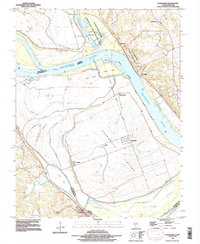
Editions of this 1993 Kaskaskia Map
2 editions found
Other maps of this area
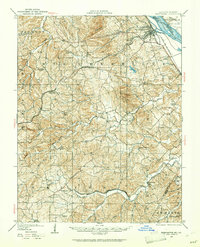
1907 · Weingarten
USGS Topo · 1:62,500
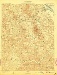
1909 · Weingarten
USGS Topo · 1:62,500
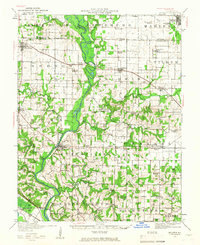
1912 · Baldwin
USGS Topo · 1:62,500
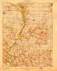
1914 · Baldwin
USGS Topo · 1:62,500
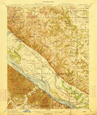
1915 · Renault
USGS Topo · 1:62,500
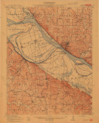
1915 · Chester
USGS Topo · 1:62,500
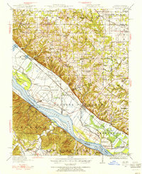
1940 · Renault
USGS Topo · 1:62,500
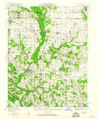
1942 · Baldwin
USGS Topo · 1:62,500
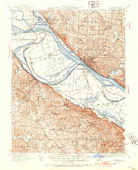
1947 · Chester
USGS Topo · 1:62,500

1949 · Saint Louis
USGS Topo · 1:250,000